Day 15 – Wednesday – August 15, 2018
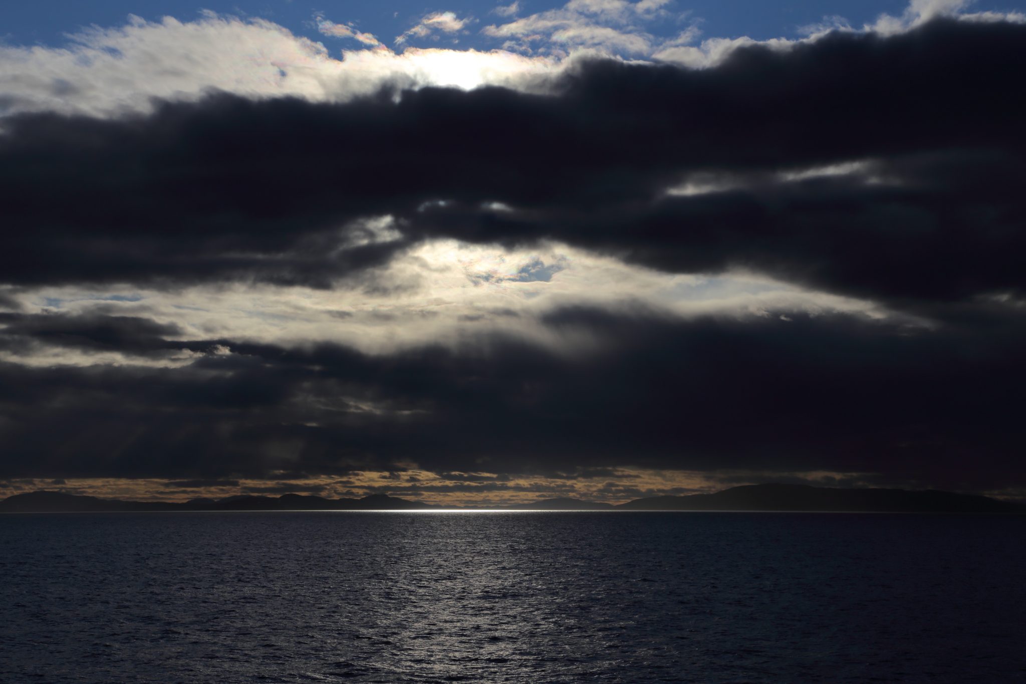
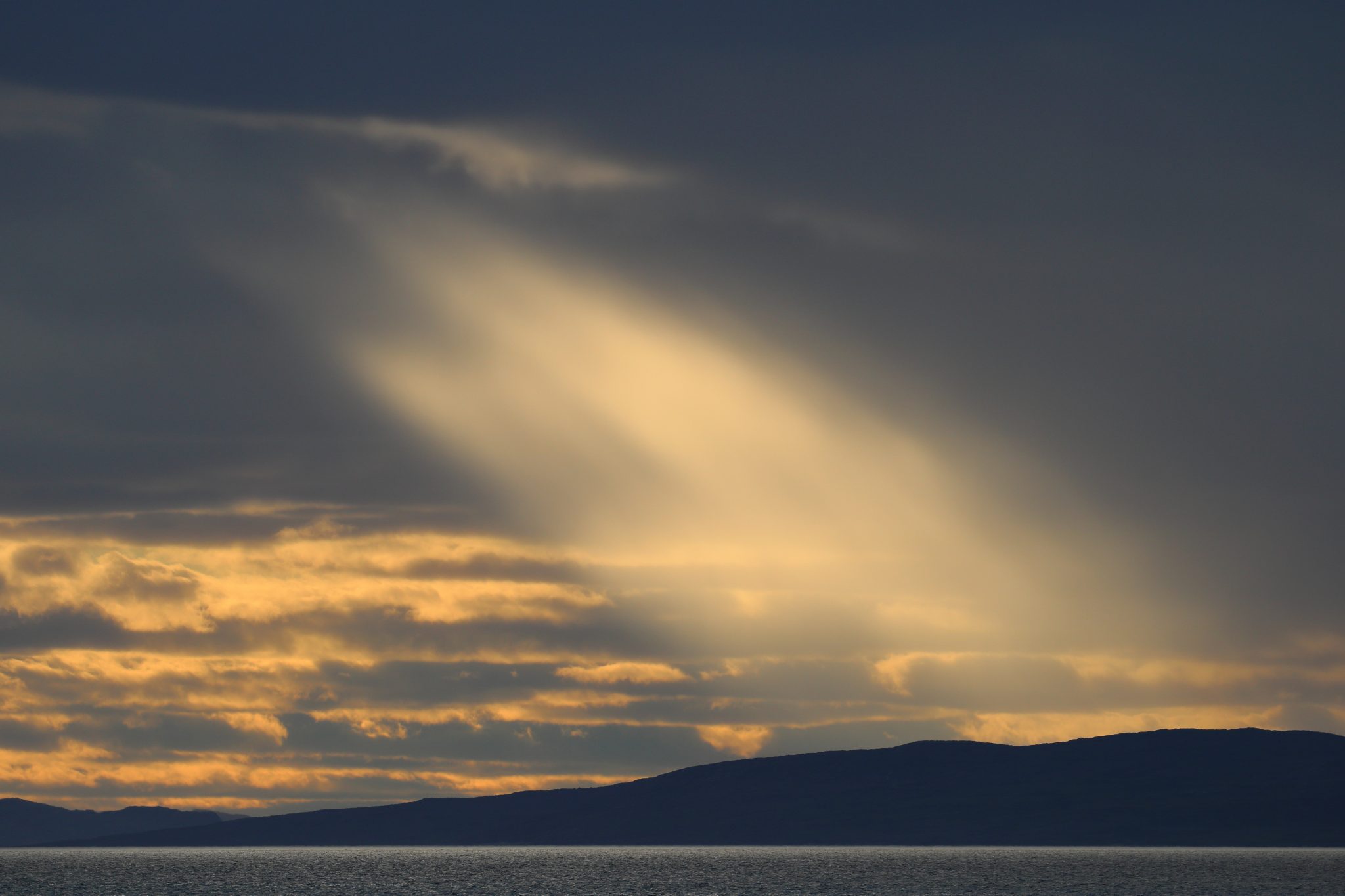
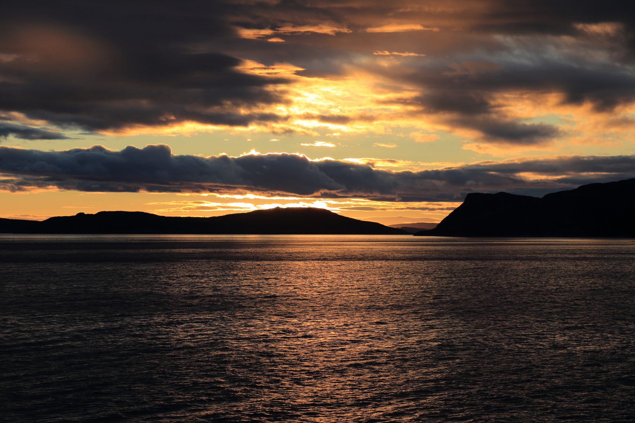
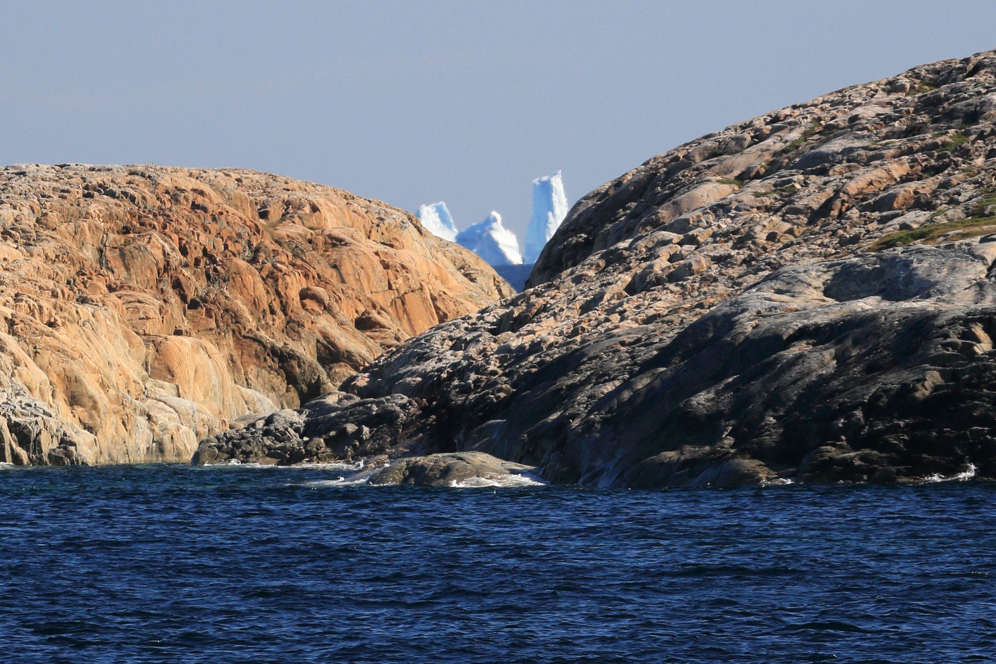
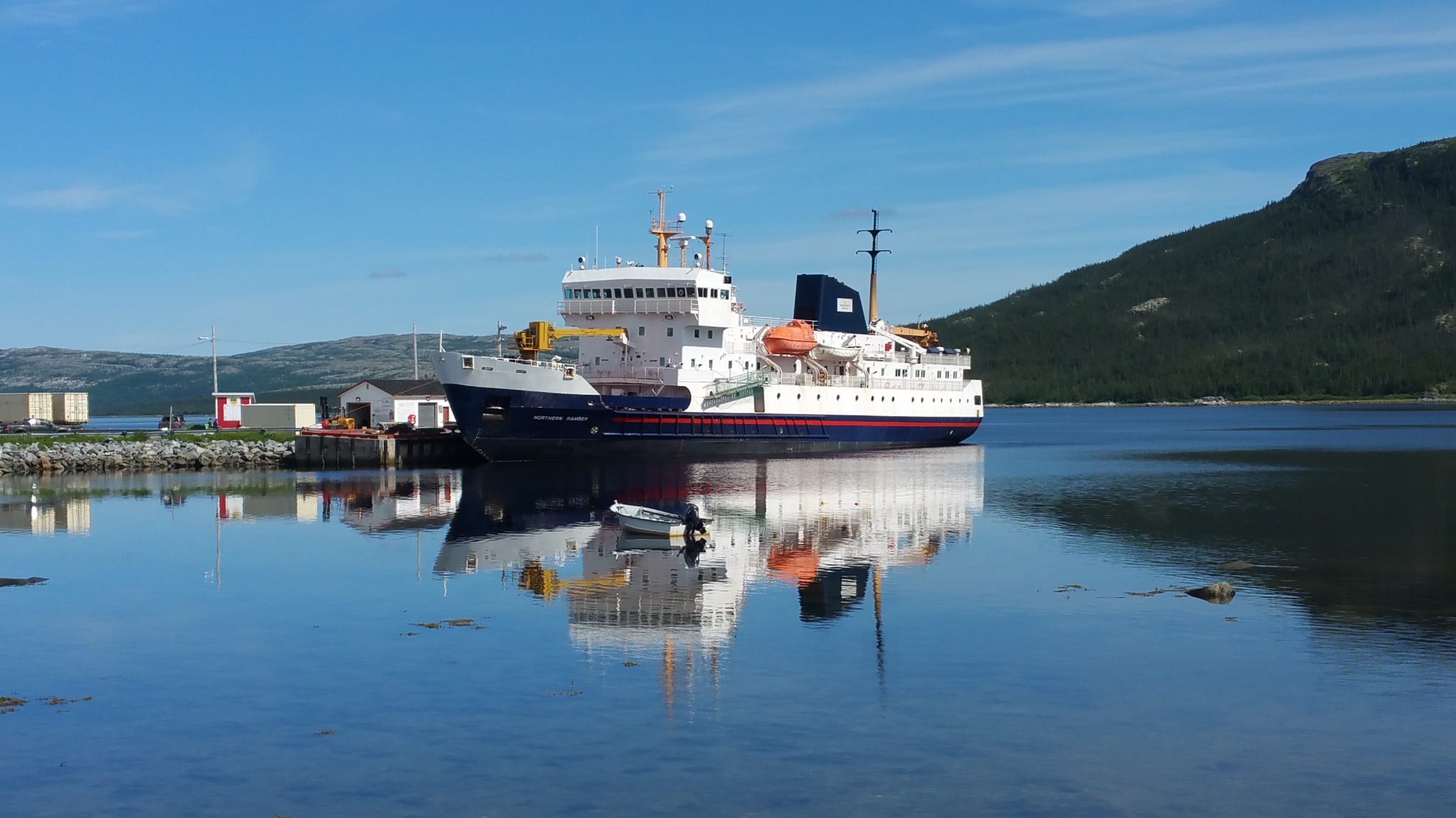
We woke to get some breakfast and as we finished, the Northern Ranger started its last leg of our northward journey. The skies were grey as we left Natuashish but that didn’t stop us from returning to the bow for the rest of the morning with Dave, Anne, and Pastor Andrews. As morning wore on, the weather began to improve and we occasionally saw the sun as we moved through the many islands and rocky points of land. We were on the way to Nain. During this part of the trip we rounded Paul Island and got the furthest north of our trip at N56°33’44”. The lighting conditions were not great for photos but I have included a couple here so you can see what it looked like. Better ones are coming later during the return trip.
One of many small islands near Nain 
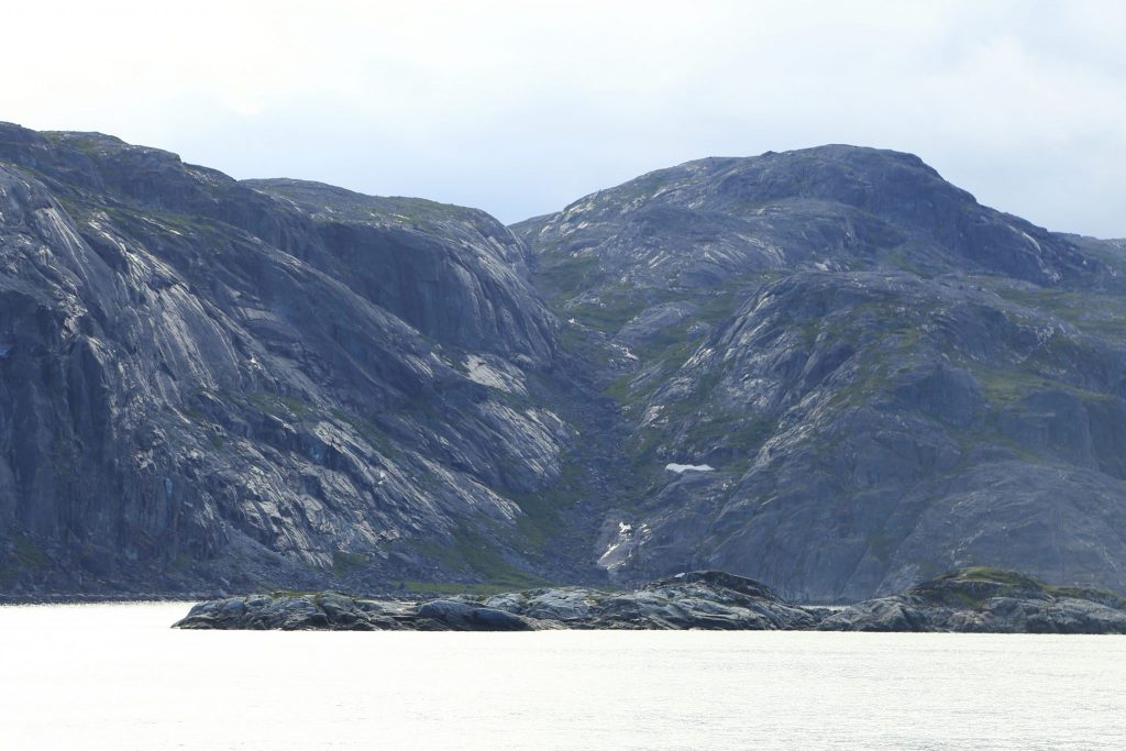
Rocky Shores of Paul Island
Paul Island on the left and Hillsbury Island to the right.
Nain
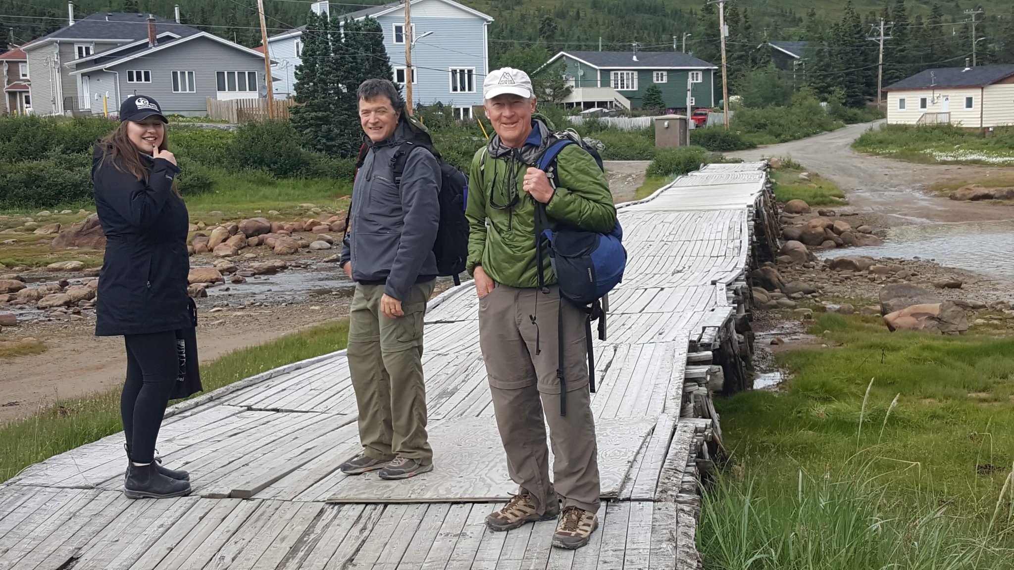
At 12:30PM, after 4 ½ hours and another 68 miles at sea, we arrived in Nain – the largest town in Nunatsiavut with a population of 1424. We headed off the ship. We passed people selling souvenirs, but were greeted by an enthusiastic young woman employed by the tourism department to provide information and free tours around town. We decided we would take advantage of this and Dave decided to join us as we set off into town. One of first things of note is the the old Moravian church. The Moravian missionaries founded the first permanent settlement along the Labrador coast in back in in 1771. It is a simple but pretty old building with a large number of wildflowers in it’s yard.

We passed by for now and continued along to a place where local people work making crafts, often with labradorite. It is a stone in the feldspar family with has translucent sections in it often showing an iridescent blue. It is made into jewelry and other items like a lazy-susan which we bought later in the trip.
We continued to a multipurpose community center and an interesting part of this was the community freezer. Here, people could donate excess meat from hunting or fishing. It has various kinds of fish, seal and moose meat, or occasionally caribou.
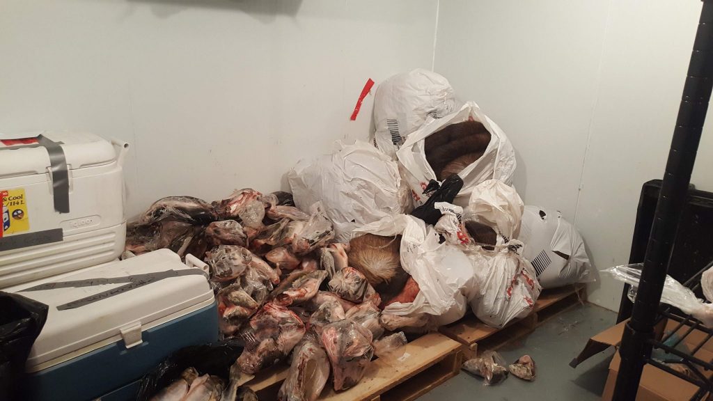
Nain Community Freezer 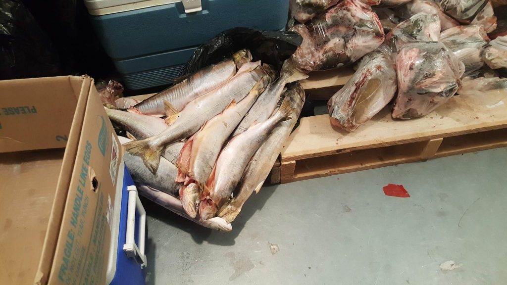
Fish in Community Freezer
We continued onward with our guide telling us about life in Nain and her experiences as a college student in St. John’s. The Nunatsiavut government is encouraging education and, as resident with Inuit ancestry, she was provided that at no cost. It’s not easy or fast to travel to the university so she does not get home often.
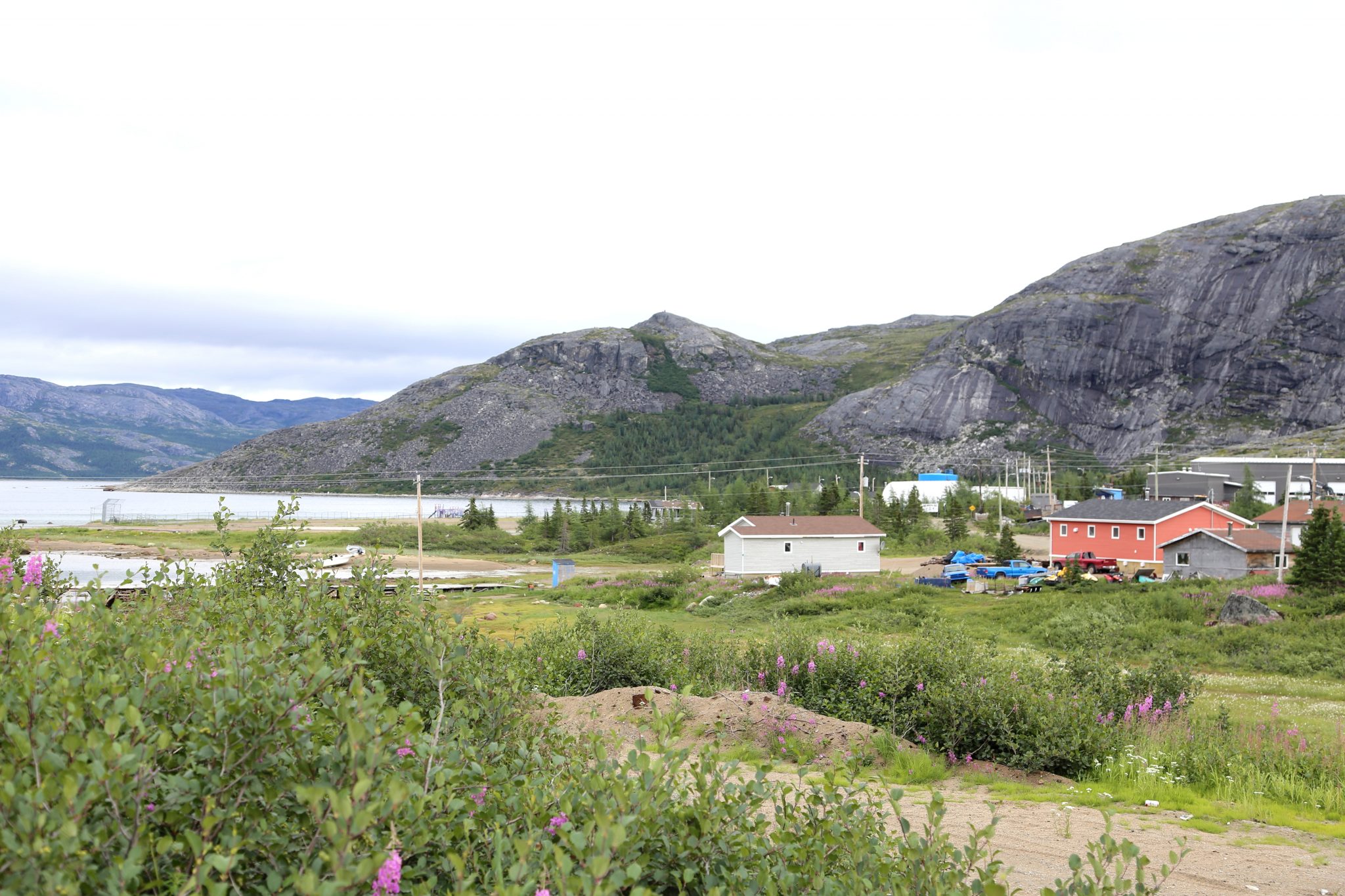
Nain is the largest community in Nunatsiavut so it gets the administrative offices. They are constructing a new building next to the harbor to house the offices and also a new cultural center. In the near future, this will be a good destination for visitors as it was almost complete, but we could only look around the outside, it will be very nice when it is completed.
We passed by the Moravian church again and headed inside for a look. They have a very simple design to them. The building materials were brought by ship from Europe when constructed many years ago. The photo collage in the gallery below shows historical photos of the people and building.
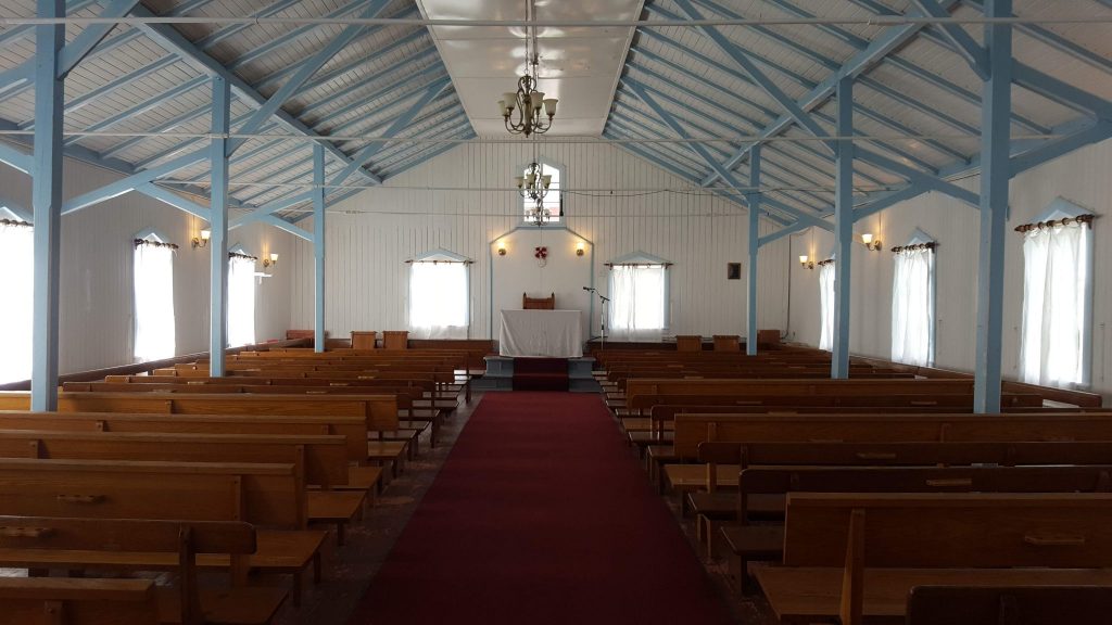
Inside Nain Church 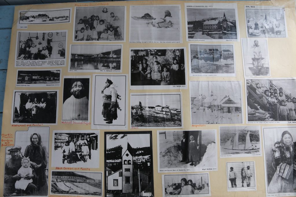
Historical Photos
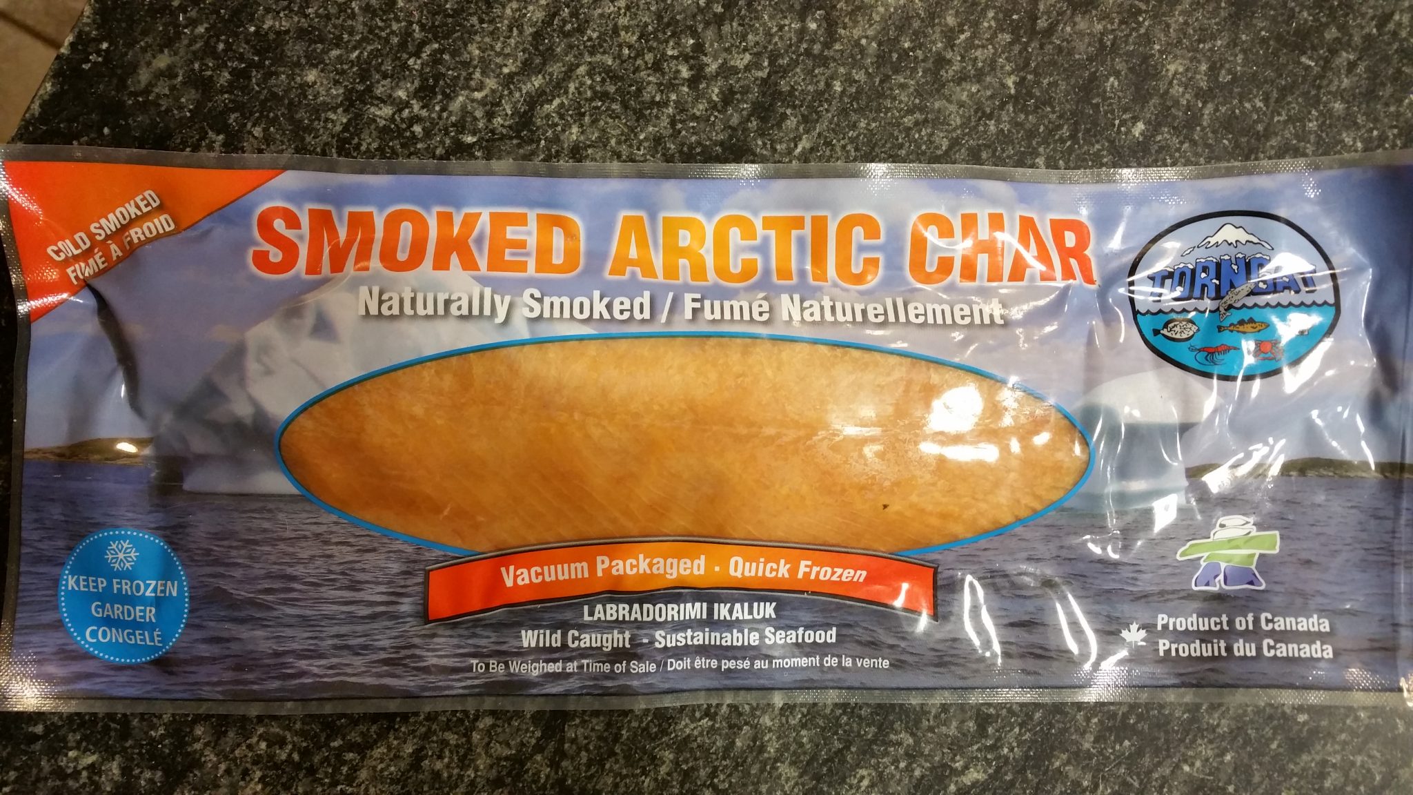
There is a small fish processing plant in Nain that smokes and freezes arctic char. We took as short but interesting tour of the facility. It also supplies needed jobs in the town. We got a couple of packages of the char to eat later in the trip. They asked that we not take any photos inside the plant so here is the product instead.
An interesting bit of trivia about Nain is that in 2018 it’s the only place in Nunatsiavut that has a Google Streetview. It apparently was done by a guy walking around with 360-degree camera rig on his back. If you look at it you can see local kids following around the cameraman.
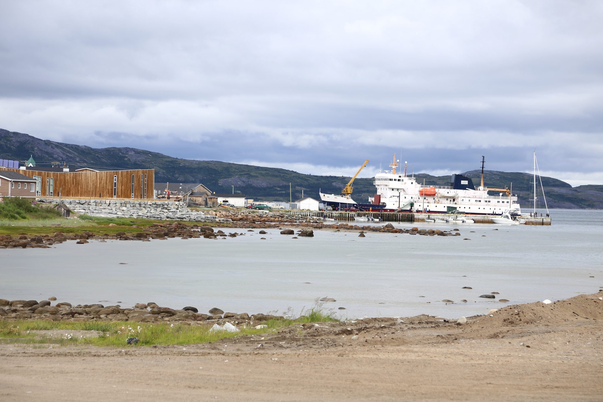
We finished our tour so headed back to the Northern Ranger. We heard there was a minke whale or two around the harbor so wanted to look for it. Our fellow traveler Dave was flying back from Nain, so we bid our farewell’s and headed on board. We went to the stern and watched the harbor for the whale. The sun was finally coming out, shining on the rocky shores visible from the harbour.
The sea birds were very active, but the whales were more reclusive. Finally, we spotted a dorsal fin in the distance. It was hard to anticipate where the whales might next appear, but they regularly surfaced, and we enjoyed watching as the ship prepared for departure. I was talking to one of the locals as we watched it and he referred to it as a grumpus.
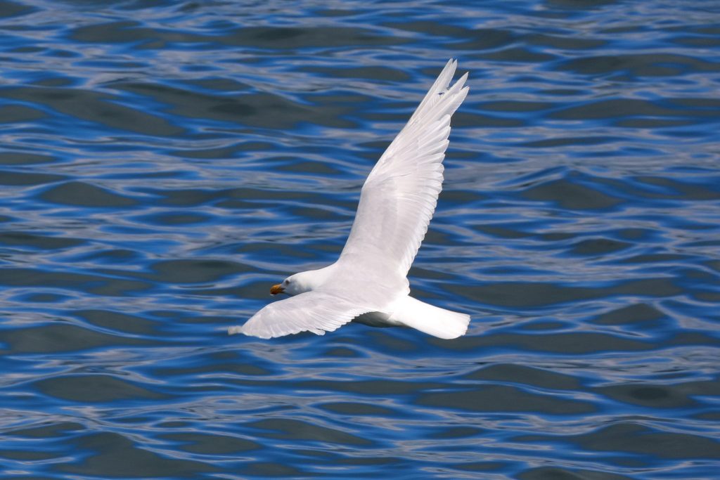
Gull against the blue water 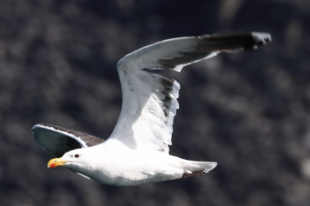
Gull in Nain 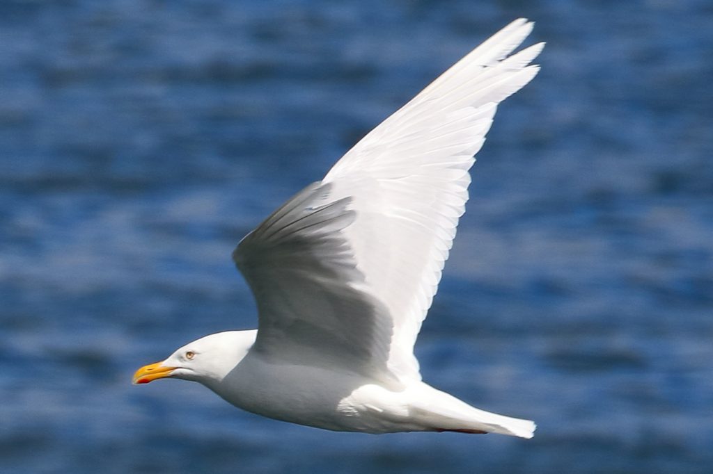
Gull in Nain
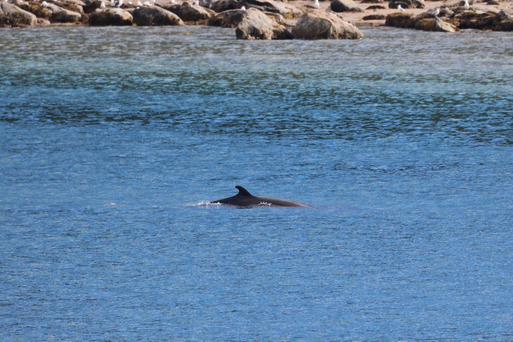
Minke finally visible in Nain 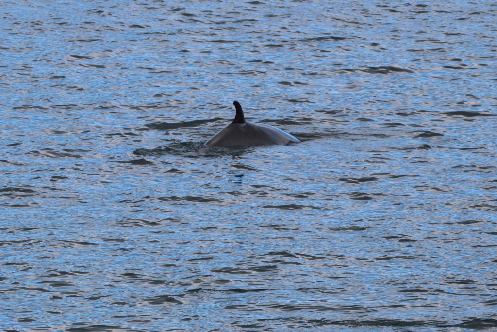
Locally called a grumpus 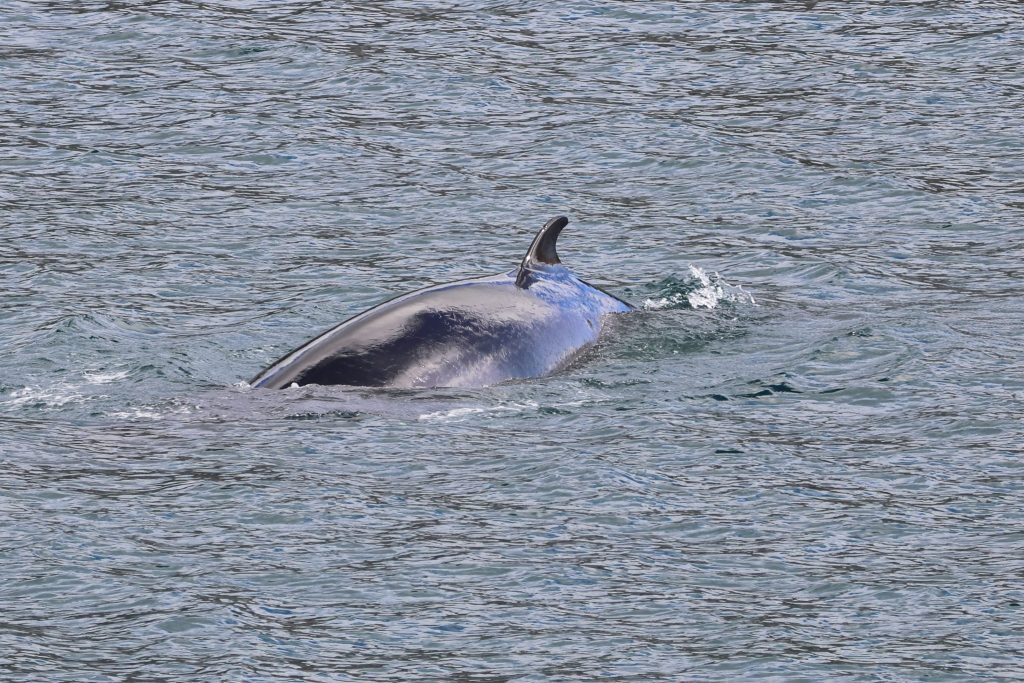
Minke Whales in Nain
The Journey South Begins
We finally headed out of the harbor at 4:30PM. We waved goodbye to Dave on the dock and the town of Nain.
Waving goodbye to Dave in Nain 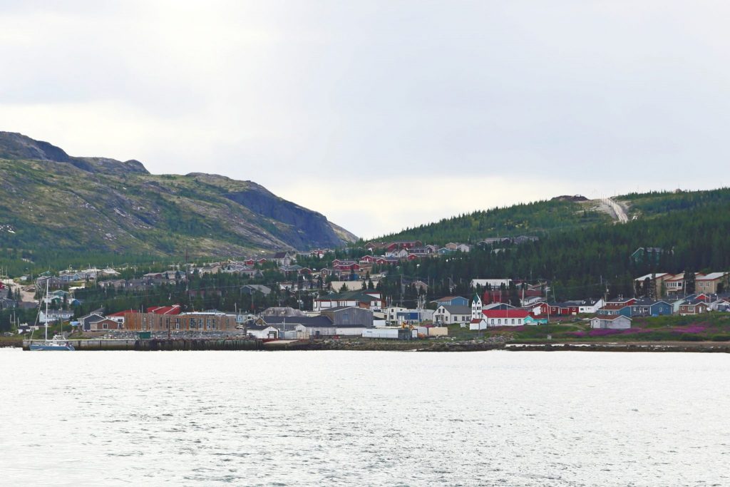
View of Nain from the Harbor 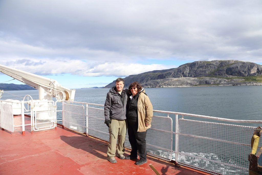
On Northern Ranger near Nain 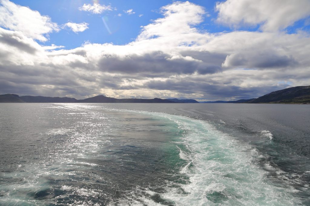
Northern Ranger’s wake in the sun
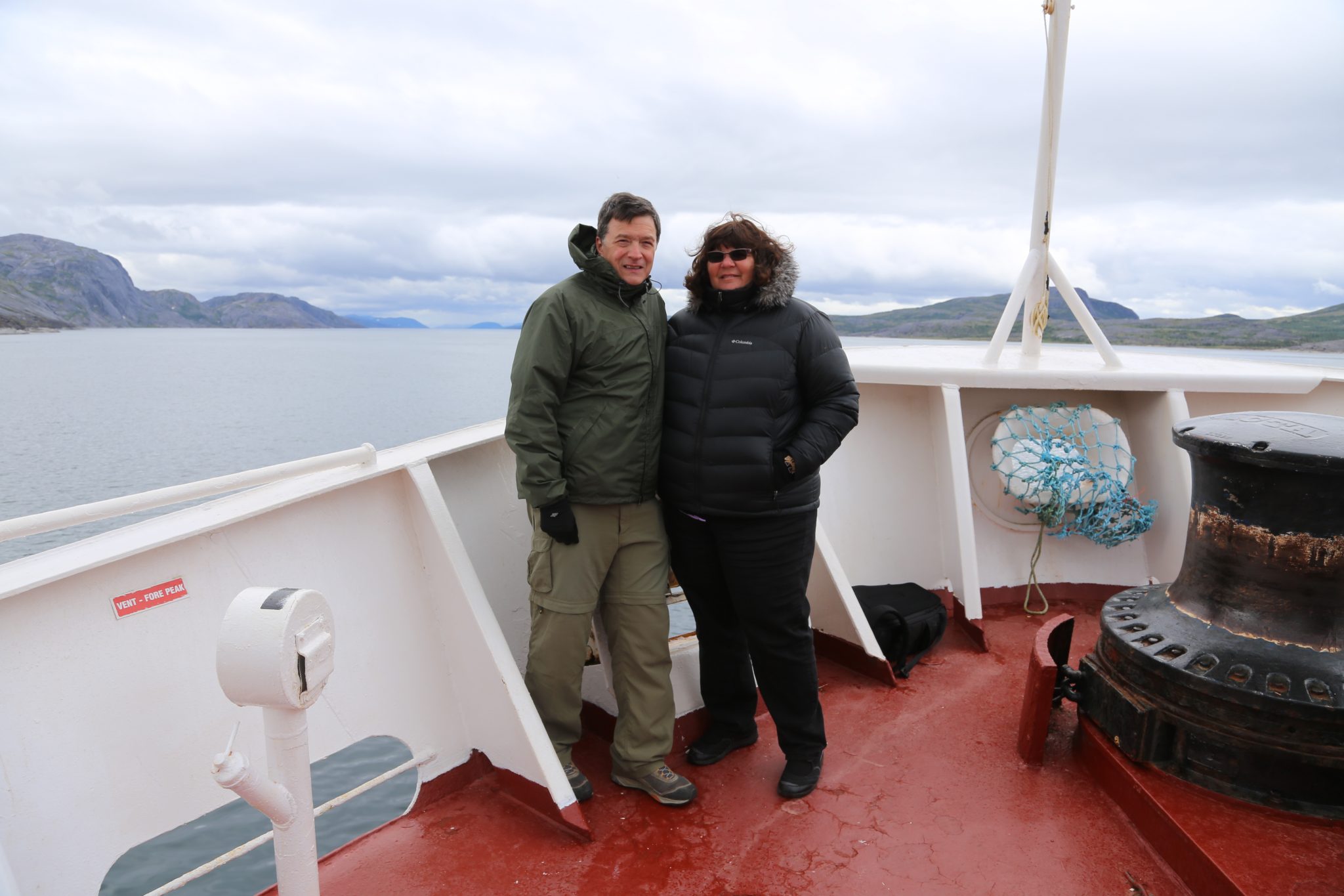
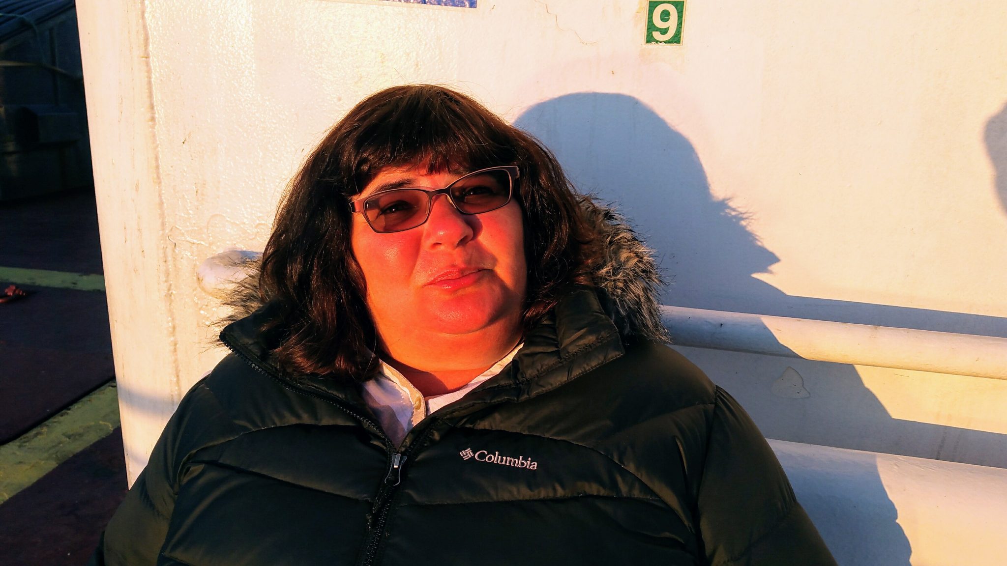
Of course, we headed back to our perches on the bow again. Now that Dave left us there was room for a new person. We were joined by Pier-Luc a teacher from Quebec City. He was traveling south after having just finished an incredible canoe trip of 1500km over 65 days from remote Schefferville in central Labrador up to the Arctic Sea and around the northernmost part of Labrador and south to Nain. They called it Expedition AKOR and you can find the website (here: expeditionakor.com) or Facebook page by searching for it. We found their journey and experiences truly impressive and it was fascinating to hear about it throughout our trip down the coast.
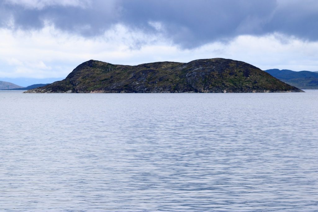
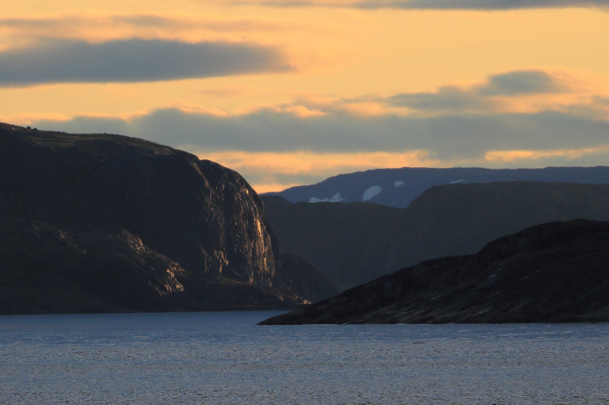
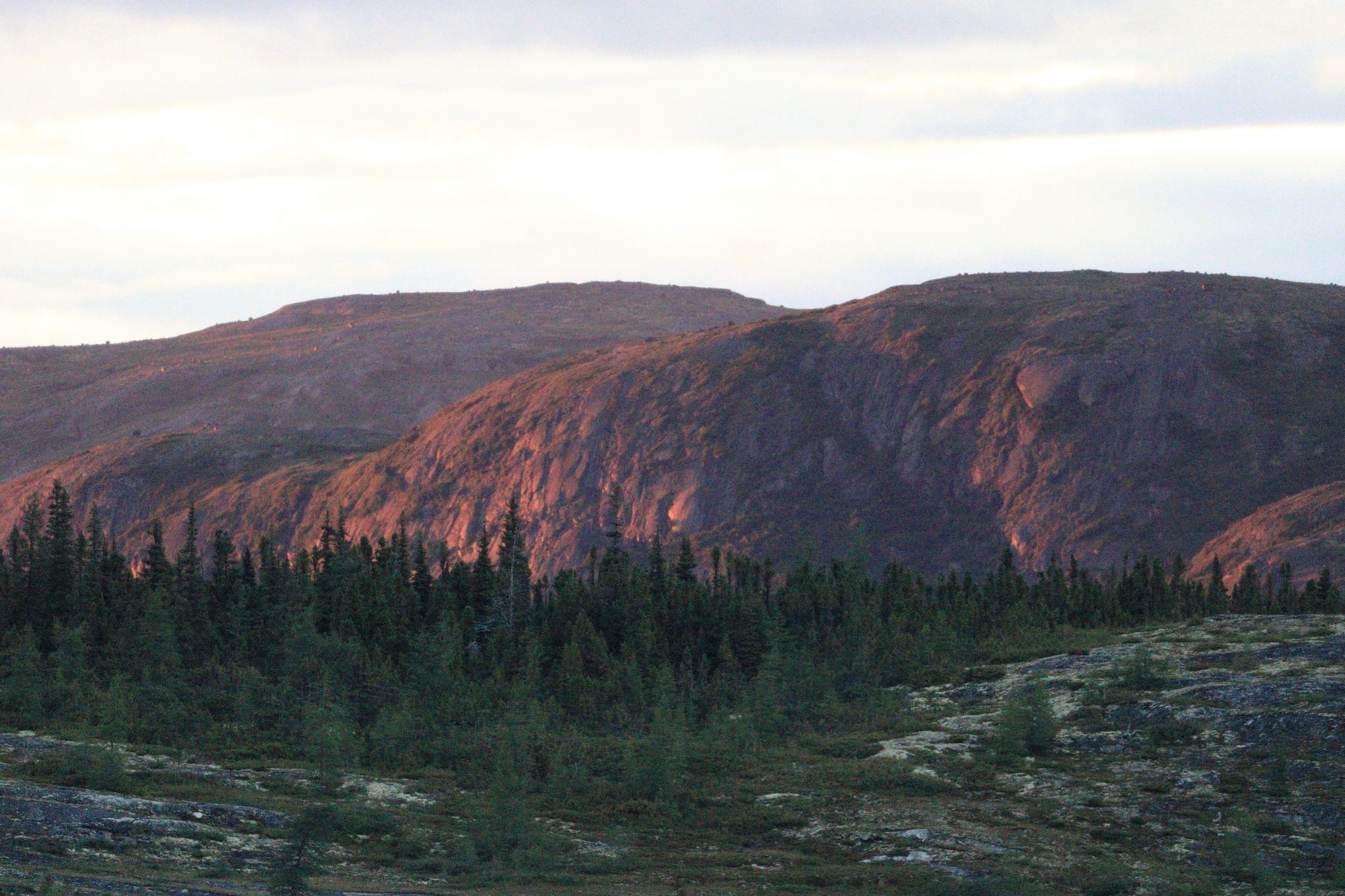
As we headed out of Nain the previously rain shrouded islands were emerging into sharp relief in the bright sun.
Rocky Labrador Shores 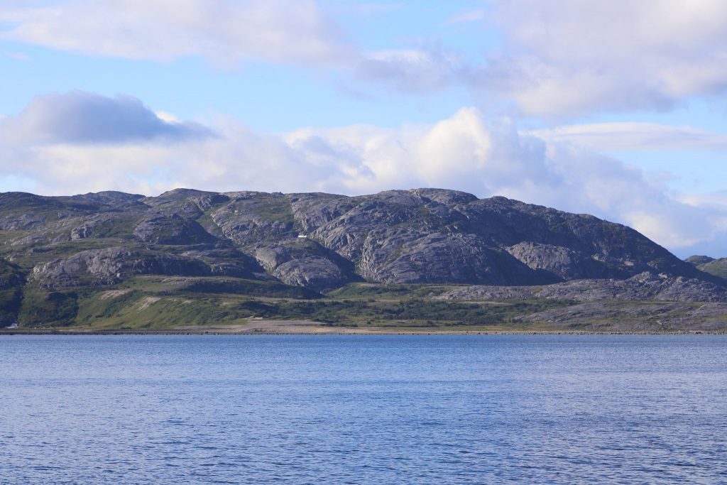
Rugged islands near Nain 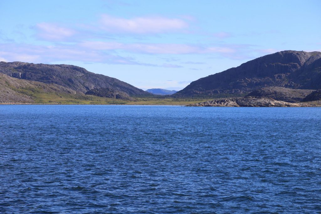
Paul Island near Nain
After dinner we took advantage of the captain’s offer of a bridge tour. We got a good overview of bridge operations and navigation. It’s also a different point of view at the highest part of the ship. We saw one of the guys who often worked on the loading and he was at the helm. The crew needs to be versatile on a smaller ship. The same people we would see working in the cafeteria would be making up beds when someone vacated a cabin at a stop or might they could be checking people in at the gangway.

Northern Ranger Bridge 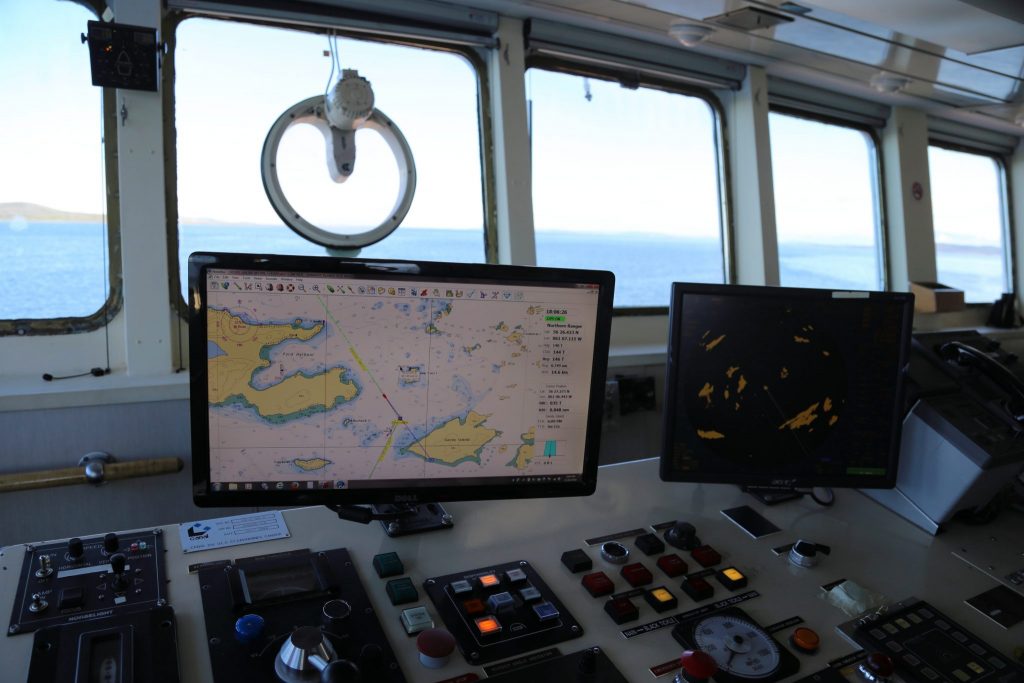
Navigation on Northern Ranger
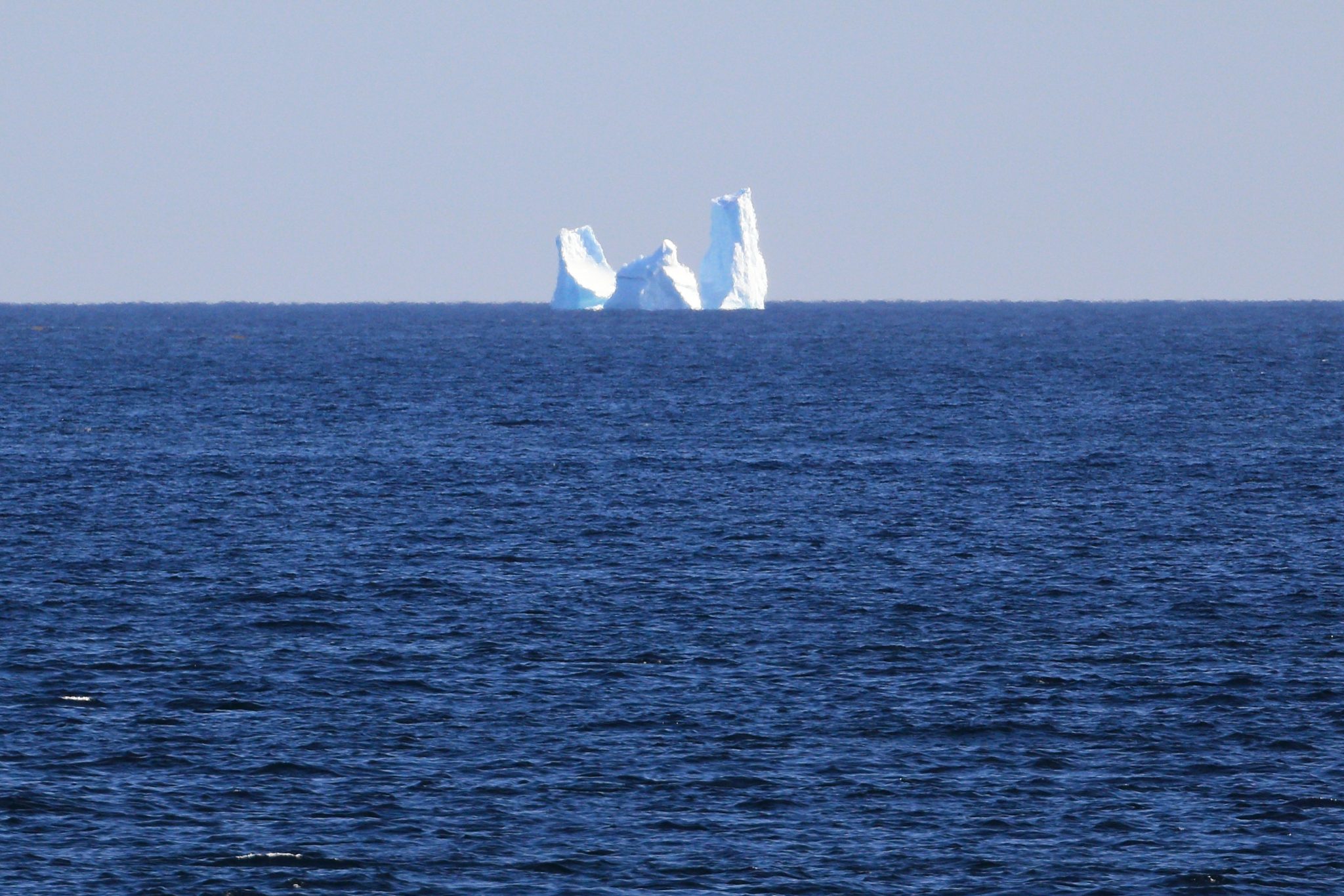
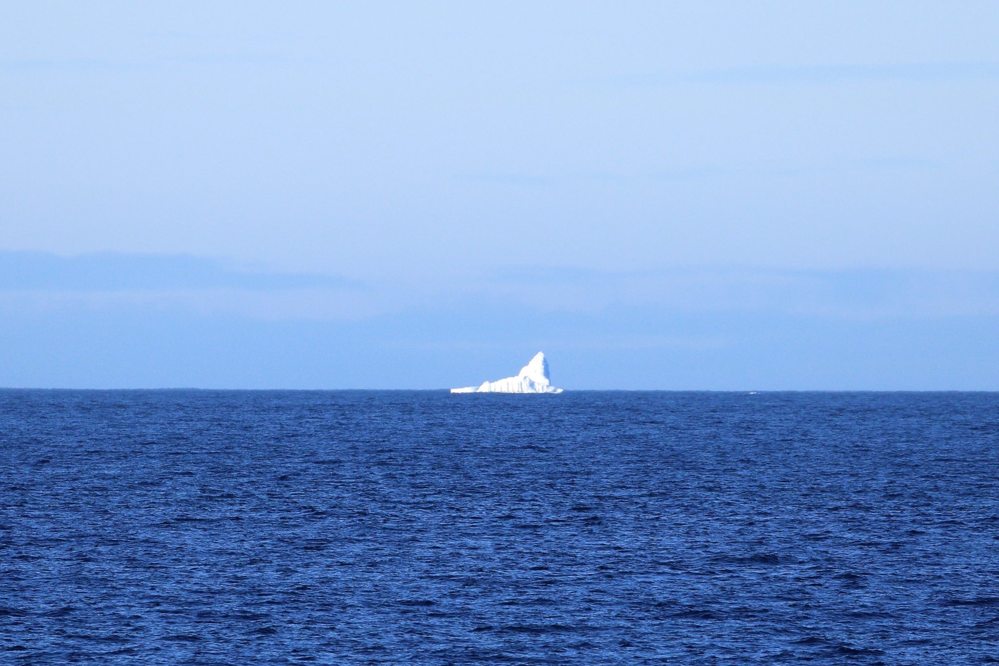
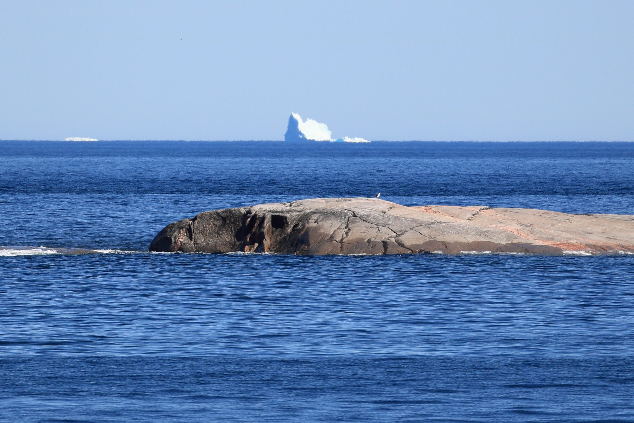
After our bridge visit we headed back to the bow. As we rounded the outer islands and headed south toward Natuashish we were treated to some additional icebergs in the distance. I wish we could have gotten closer to them although not as close as the Titanic. We would like to come to Labrador and iceberg alley again during prime season to see some of the big ones up close.
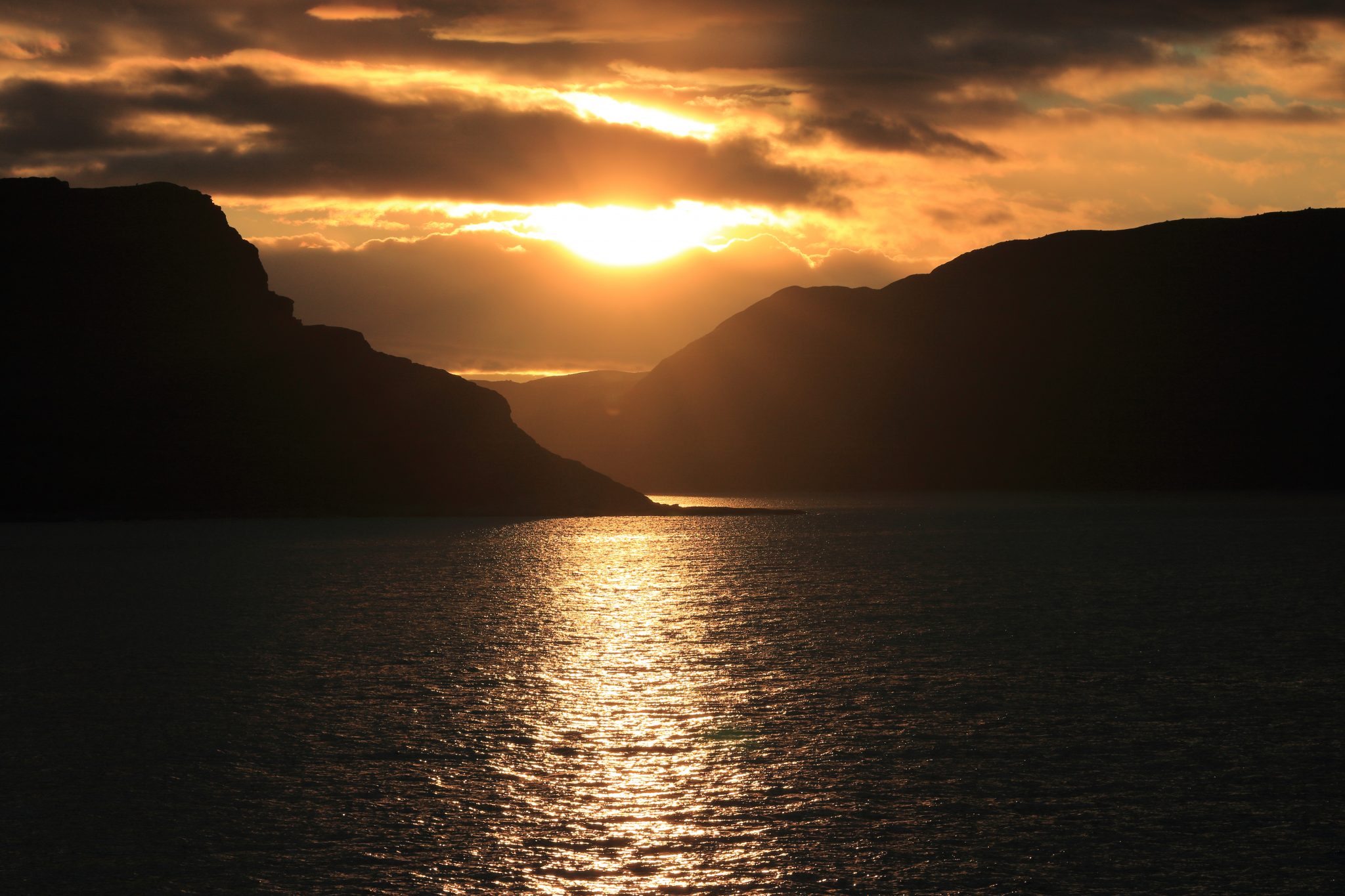
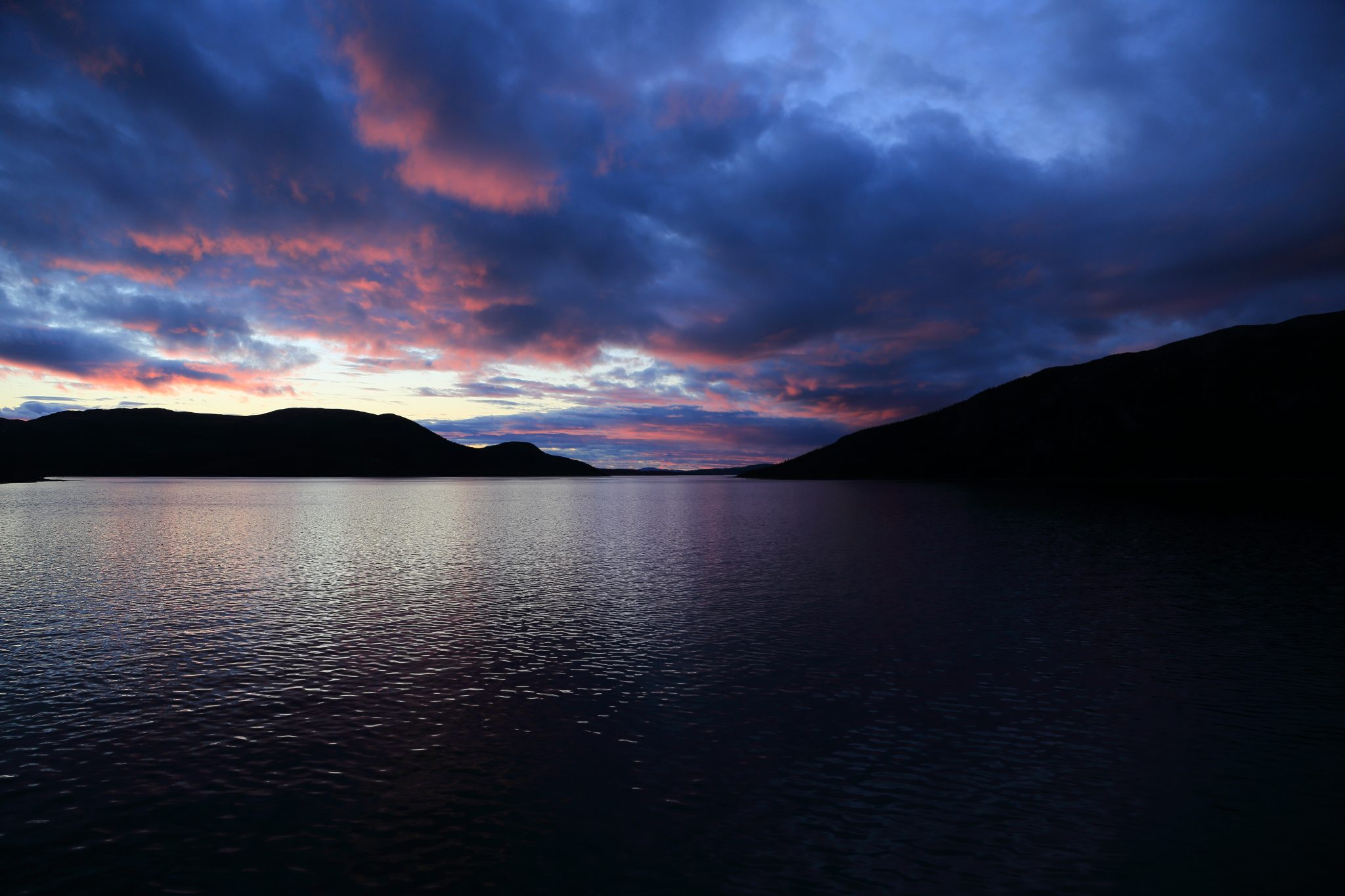
It was pleasant out and the lowering sun created some beautiful vistas as it splashed color across the rocky terrain. The sunset and twilight process took a long time in the higher latitudes and created some beautiful scenery for us to enjoy.
The 68 miles and 4 ½ hours to Natuashish passed quickly and we were there for only a quick 1 hour stop before continuing onward. Going to bed late, our day added another 136 miles bringing us up to 1020 miles at sea.
Day 16 – Thursday – August 16, 2018
During the night we traveled the 70 miles to Hopedale arriving around 7:30AM. We woke to the sounds of the breakfast announcement prior to ship coming into port. It took us 9 ½ hours as they go slow and even doubled back letting us all sleep through the night. We had just visited Hopedale so stayed onboard and continued onward at 9:00AM. Back at sea more icebergs appeared as we continued south.
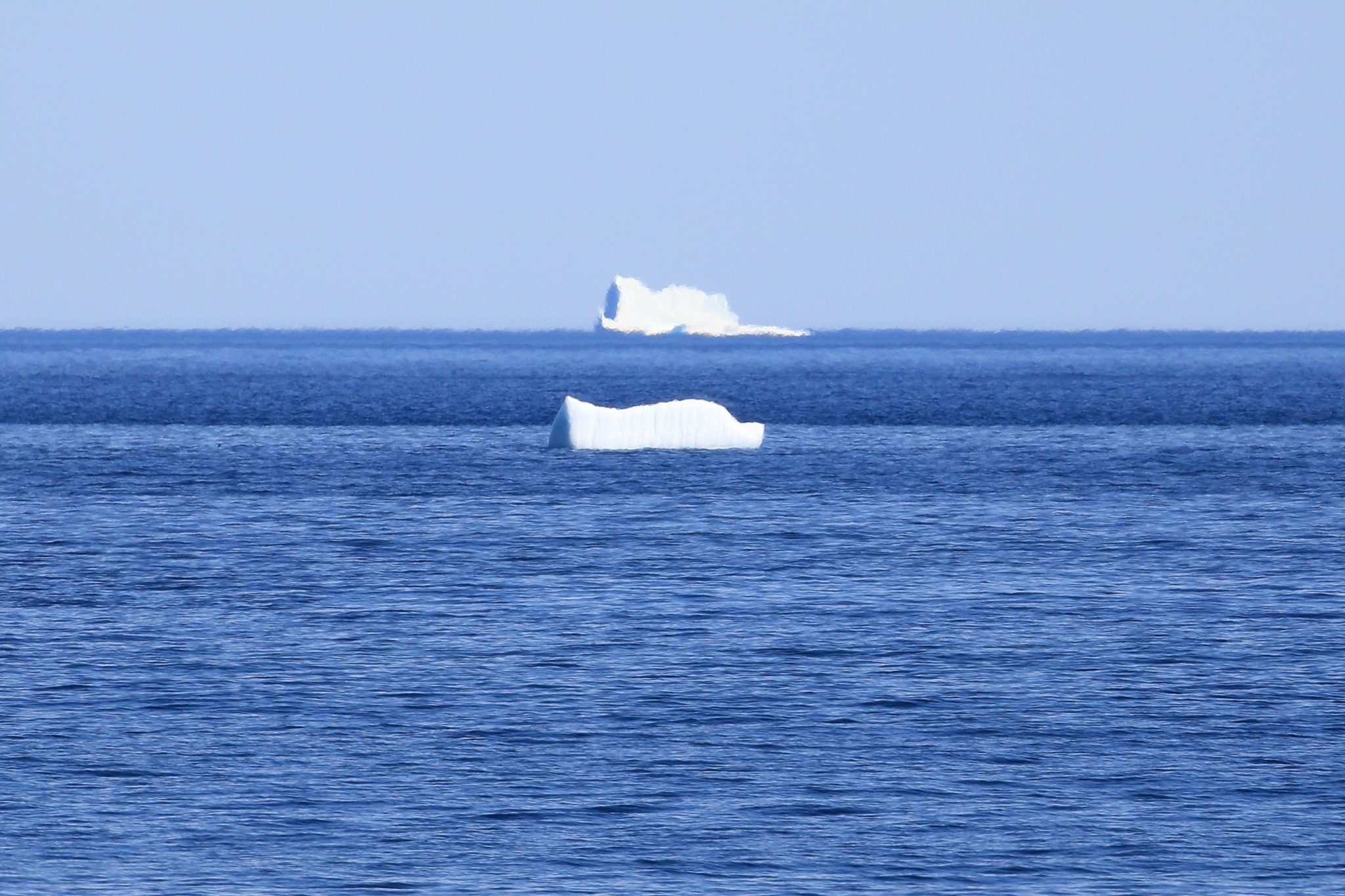
The ship traveled the 70 miles to Postville and we enjoyed the sun while admiring the icebergs and sea sparkling in the sun. Pier Luc, Anne, Debbie and I passed the time talking our travels.


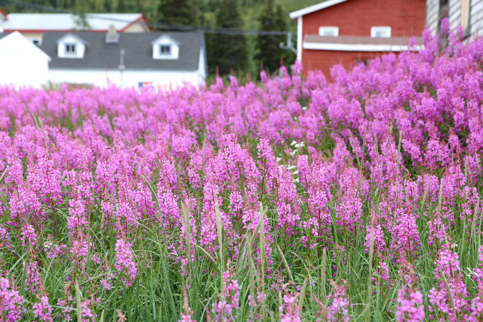
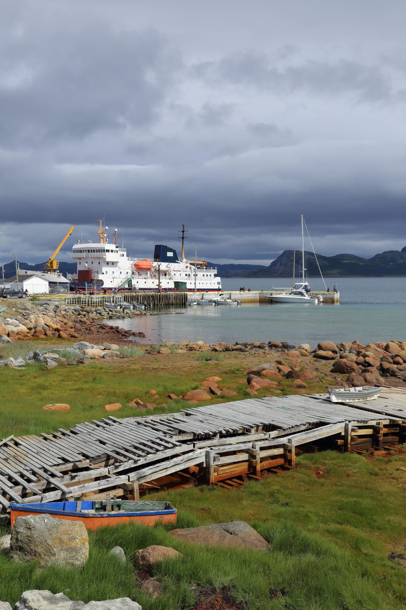
We arrived in Postville after 4 ½ hours at 1:30PM. We had not visited the town heading north so we decided to go ashore. There was no local lunch being served at the dock, but they were giving tours around town for small fee. Our tour guide was a retired teacher and she took us around telling up about life and history in Postville. Like other towns, people shop in a small almost unmarked store. It’s about the size of a typical convenience store but had a greater variety of non-food items. Postville and other towns are not connected to the electric grid but generate their own power by diesel generators and we saw where that was located. I noticed that almost none of the houses have lawns but might just have some wild flowers. You would have to import a lawnmower if you wanted one and I suspect the climate isn’t favorable for grass.
At 3:00 we headed back out through the long bay and back south the 46 miles to Makkovik arriving at 6:00PM for a 3 hour stop. We went ashore for a leg stretch and returned aboard to watch to the loading and unloading process. By now we had a pretty good sense of how this worked. You unhitch the hook on the crane and use it to move any cargo stored on top of the large hatch including the box where people put their luggage if they don’t have a cabin. That large box is placed on the dock at each stop. When that is offloaded they use the crane to lift open the hatch. Than they lift the larger items from deck and smaller items from inside the hatch which might be tied onto pallets. The variety of things going on and off surprised us at times. Eventually they reverse the process and get it all closed and tied down.

Preparing for our 9:00PM departure we saw lots of red skies and got a nice sunset with the light rippling in our wake as we headed back out to sea.
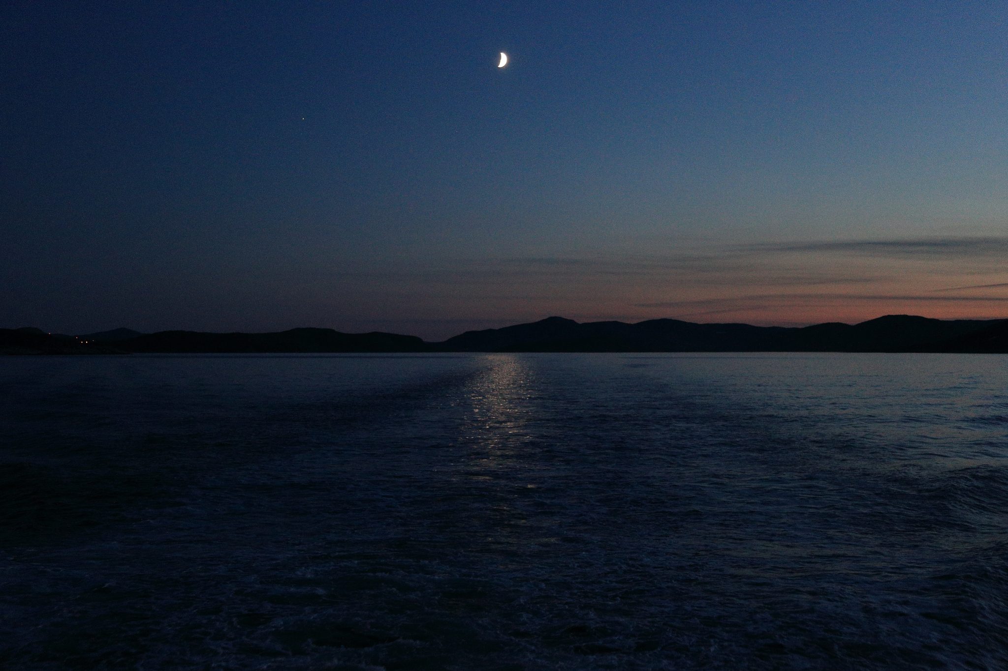
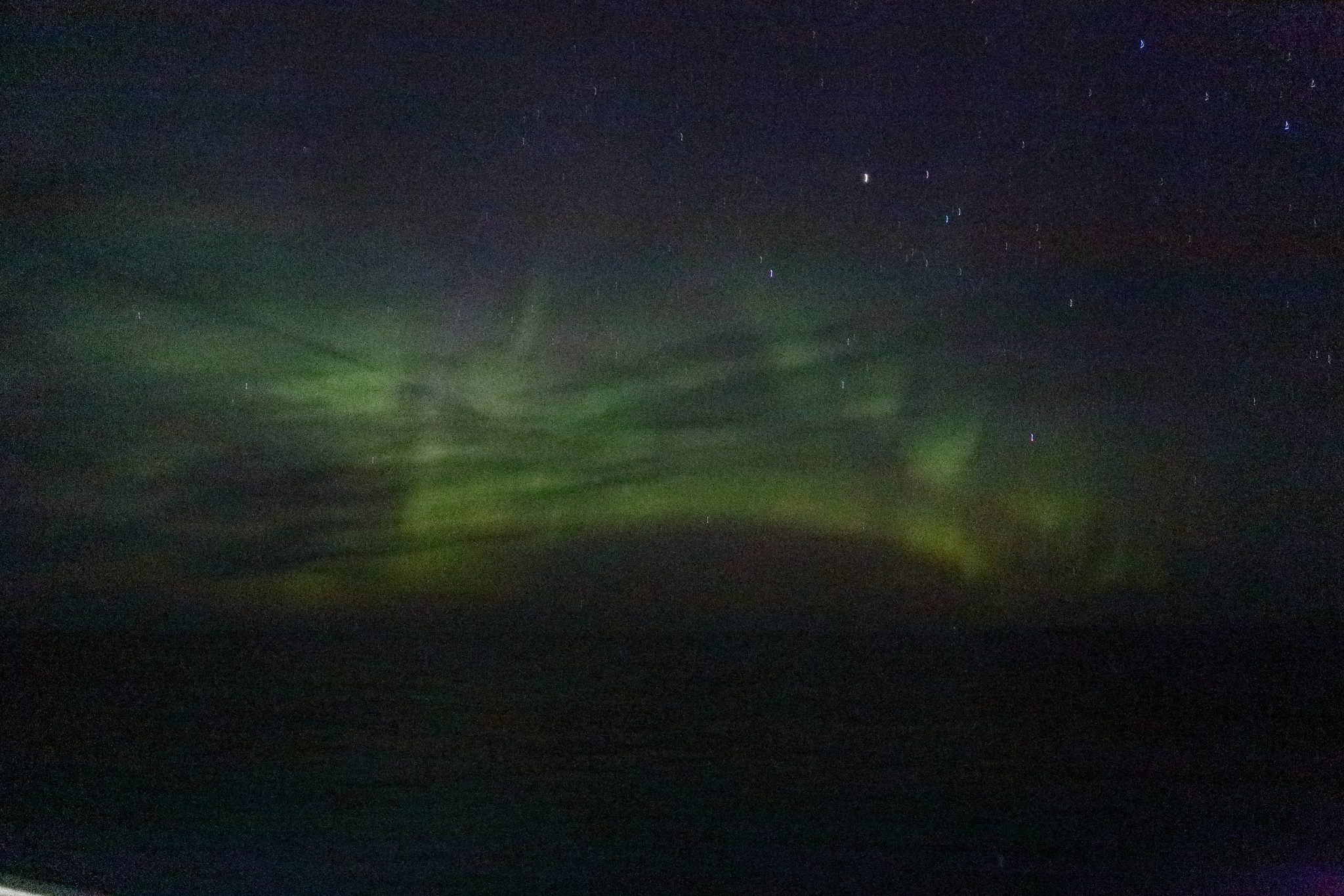
We had heard earlier from the bridge crew that the aurora borealis had been seen the night before. I went out about 1AM to try and find a dark spot on the deck to look for it. I spotted what seemed to some clouds and then it occurred to me that it there was no moon to even reflect on clouds so that is must be the aurora. It wasn’t very bright so just appeared white, but the camera revealed the green glow of it. It’s kind of hard to get a good picture on a moving ship but I did get something even if my hands got kind of frozen in the process. Eventually I woke up Debbie so she could also have a look. We traveled 186 miles bringing our sea total to 1206 miles.
Day 17 – Friday – August 17, 2018
Return to Happy Valley – Goose Bay
We traveled overnight for 10 ½ hours the 163 miles to Rigolet arriving at 7:30AM. I was groggy from my late-night aurora photo shoot so wasn’t motivated to get off the ship and after the 1 ½ stop we departed at 9:00AM. We headed back westward through the islands around Rigolet and until we finally hit the open waters of the main part of Lake Melville. While I was packing up the bags Debbie saw a whale breach but unfortunately couldn’t get a picture.
A common sight on this trip! 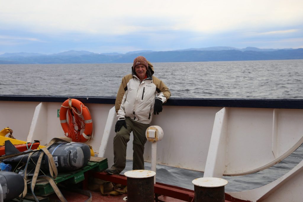
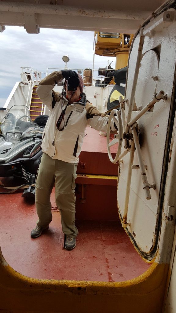
James on the bow while crossing Lake Melville
We spent the day traveling the 110 miles across the length of the lake hanging out on the bow with Anne and Pier Luc. It took us 7 ¼ hours fighting a headwind until finally we arrived back in Goose Bay nearly an hour late at 4:15PM. We had learned that Pier Luc was planning to hitchhike back west on the Labrador highway to where it crossed the Tshiuetin Railway about a hour outside of Labrador City. It would take him directly south from there to the St. Lawrence where he would make his way home. We were going that way and offered to take him.
We said goodbye to Anne, disembarked, and headed back to the car wanting to get moving so we could drive most of the way in daylight. Remember the stone chip in the windshield that looked like an ant? It was now a long crack but we would just have to deal with it as we needed to get back on the road and continue west deep into the interior of Labrador. Before doing that, we wanted to get some souvenirs and headed over to Slipper’s N’ Things where we found a nice variety of quality crafts from Labrador and Nunatsiavut. Stop in next time you are in Goose Bay!
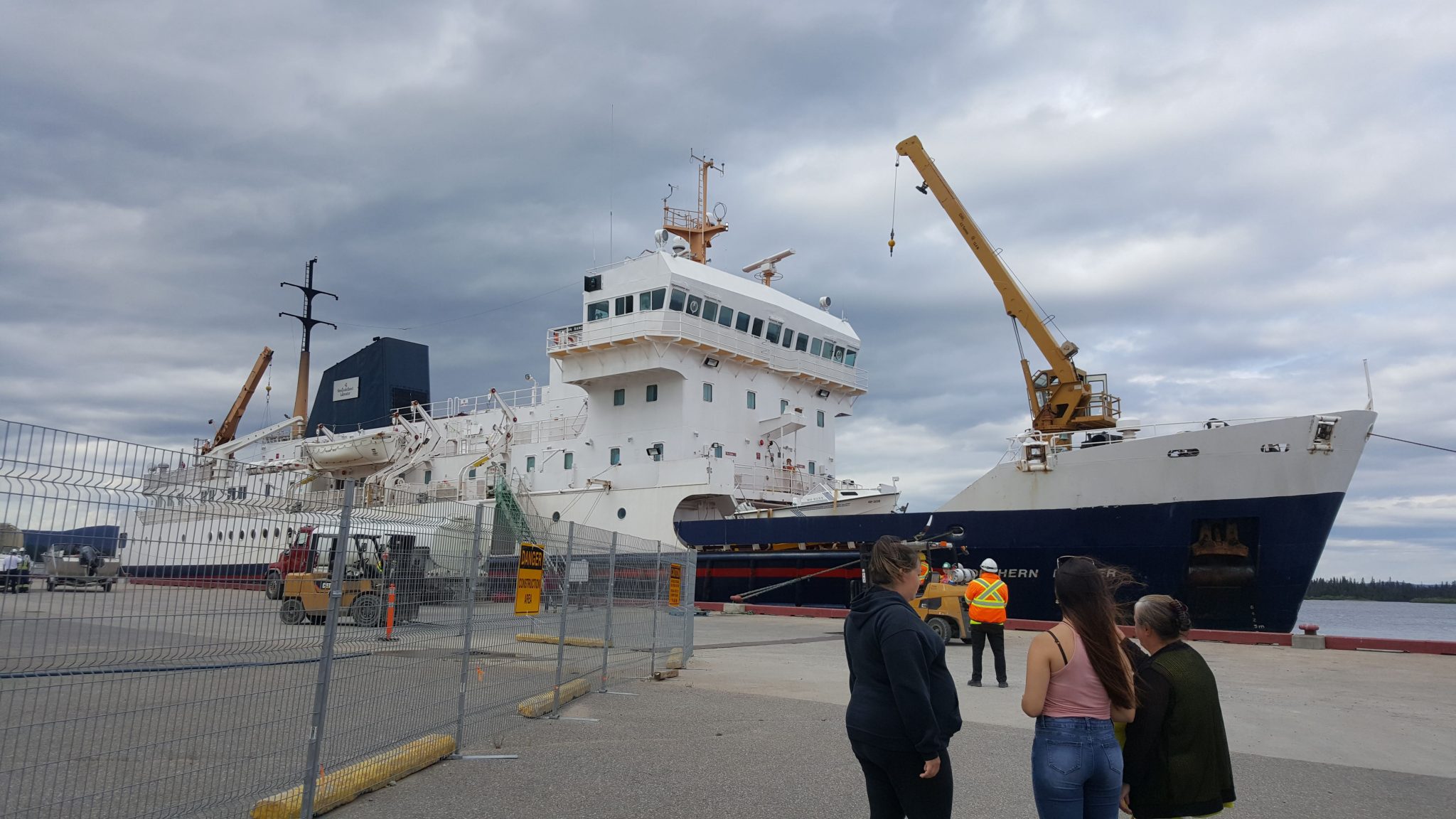
If you were wondering how much the round trip in 2018 on the Northern Ranger costs for 2 people in a deluxe cabin it’s $2326 Canadian. You pay for your own food, but it wasn’t expensive. Our journey by sea was 1054 miles and about 73 hours at sea not including the stops in port. I have learned since we returned that this was last year for the Northern Ranger and the cargo ship Astron on the Labrador coast. The ferry contract is going to Labrador Marine who also runs the ferry from Newfoundland to Labrador. The new ship that can take cars and is better overall. We had a great trip on the Ranger and the crew of the ship were very accommodating. The modern new ship is called the Kamutik W and I hope many of the crew have found a place on it and that it’s an even better experience for passengers in the future.
The Road to Churchill Falls
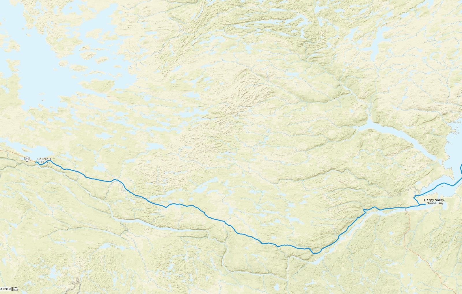
Trans-Labrador Highway – Goose Bay to Churchill Falls
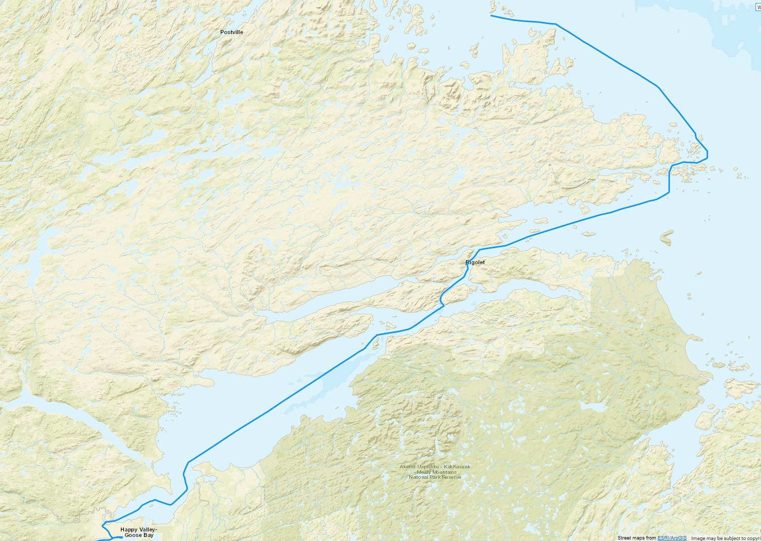
Now we headed west on route 500, the Trans-Labrador highway for the beginning of our long journey back to home. This road is so new there really aren’t any kind of services on it. You can drive 3 hours and 45 minutes to Churchill Falls or make it 7 hours to Labrador City. If you live in Goose Bay and want to go to Walmart it is 14 hours round trip to Labrador City. The area between them is true wilderness and nearly devoid of human impact so we preferred to travel during the day. It was getting late but we were only going to Churchill Falls and would overnight there. Thankfully, since 2014, the road is now paved all the way there.
Heading out of town the road followed the path of the Churchill River and the terrain is hillier but not really getting to mountainous. You follow this rugged area ascending for a while until you are higher but flatter. As we got closer to Churchill Falls we saw large electric transmission towers reminding us as to why the town is there in the middle of nowhere. It hosts a huge generating station which we would visit the next day. The day came to a close and we saw those towers silhouetted in the orange of the setting sun. Beyond the towers there aren’t a lot of man-made things to be seen along the way, just the wild country dotted with many lakes and ponds. We arrived into the company town of Churchill Falls and found the Height of the Land hotel inside the town center building. Pier Luc took his tent and headed into the woods for the night.
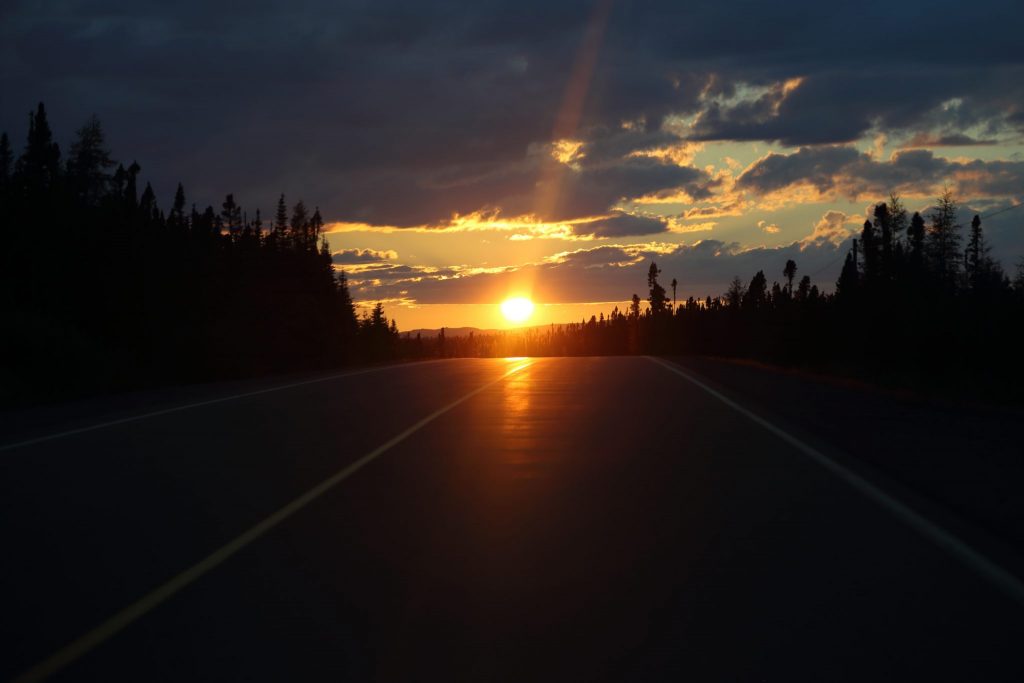
Sunset on the Trans-Labrador Highway 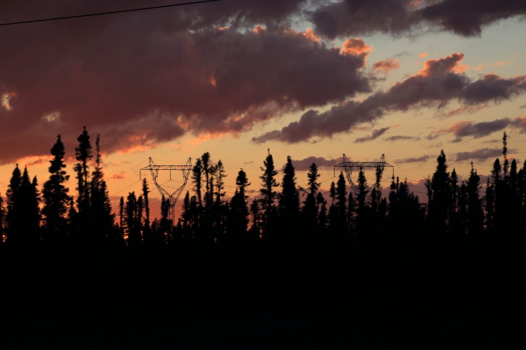
Transmission towers near Churchill Falls 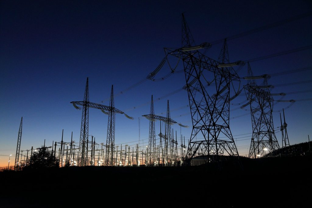
Churchill Falls Generating Station distribution yard
Today we drove 189 miles over 3 hours and 21 minutes for a trip total of 2582 road miles. We traveled another 273 miles by sea for a trip total of 1479 miles over 93 hours.