
Day 18 – Friday August 18, 2018
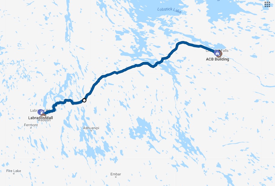
Churchill Falls to Labrador City
The reason that town of Churchill Falls exists is because of water. Visionaries had the idea to use that water to create a gigantic electric power plant. That vision sprung to life starting in 1967 when they broke ground in the wilderness to create the Churchill Falls Generating Station. It is jointly by owned by Newfoundland and Labrador’s Nalcor Energy with minority partner Hydro Quebec. It generates 5.4 gigawatts of power and a total 35,000 GWh throughout the year which is almost 1% of the world’s hydroelectric generation. At the time it was built it was the the largest civil engineering project ever undertaken in North America and the largest underground generating facility in the world. Now it’s number 2. It has a lopsided financial arrangement as Nalcor currently earns $63 million per year with Hydro Quebec earning $1.6 billion! If you have any interest in the politics and challenges of a large public works project like Churchill Falls, you can find some interesting reading online.
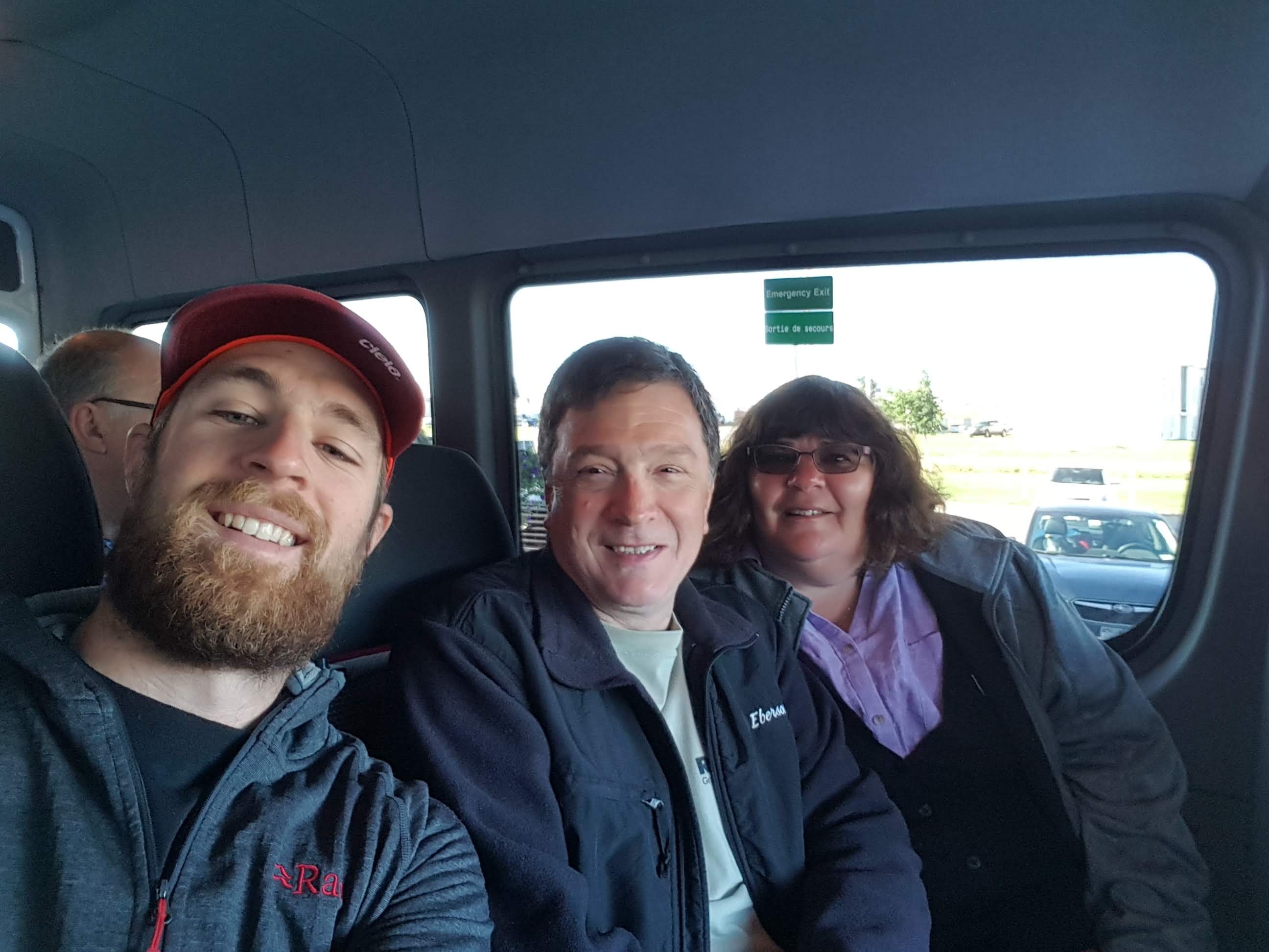
We wanted to see this facility before continuing onward to Labrador City. We started our day in the restaurant of the hotel grabbing a quick breakfast while the waitress kept a look out for the van from the generating station. The van picked up Debbie, Pier Luc, and I and took us around the town.
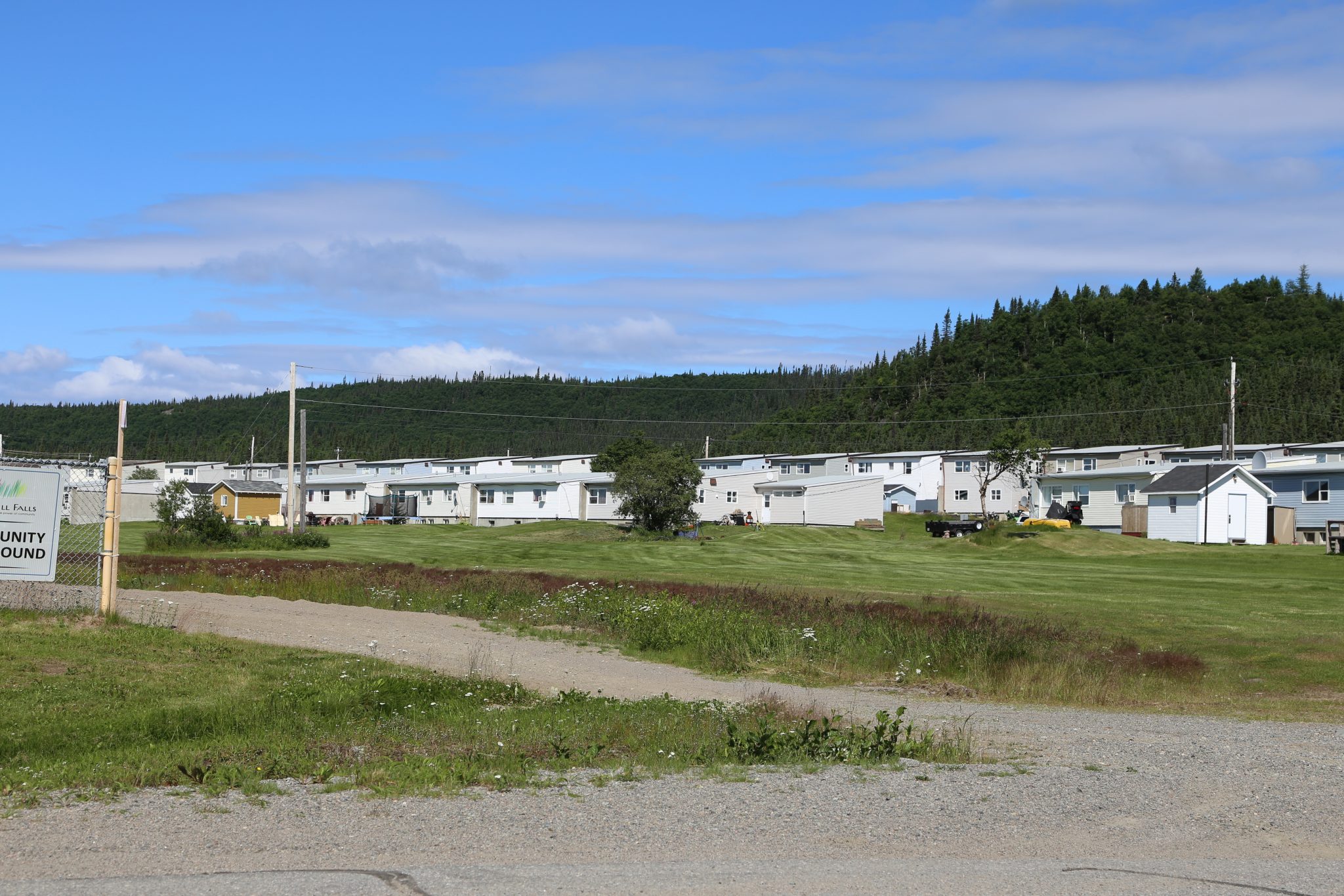
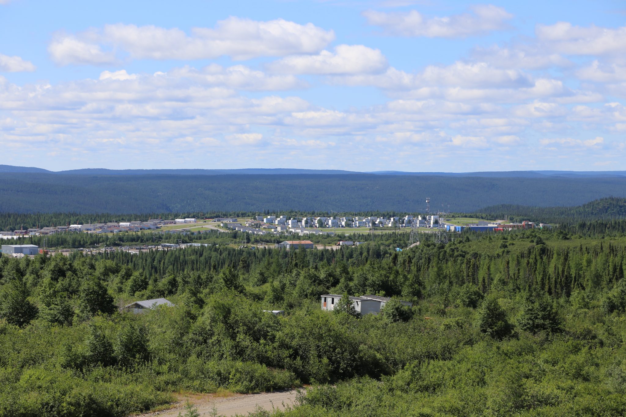
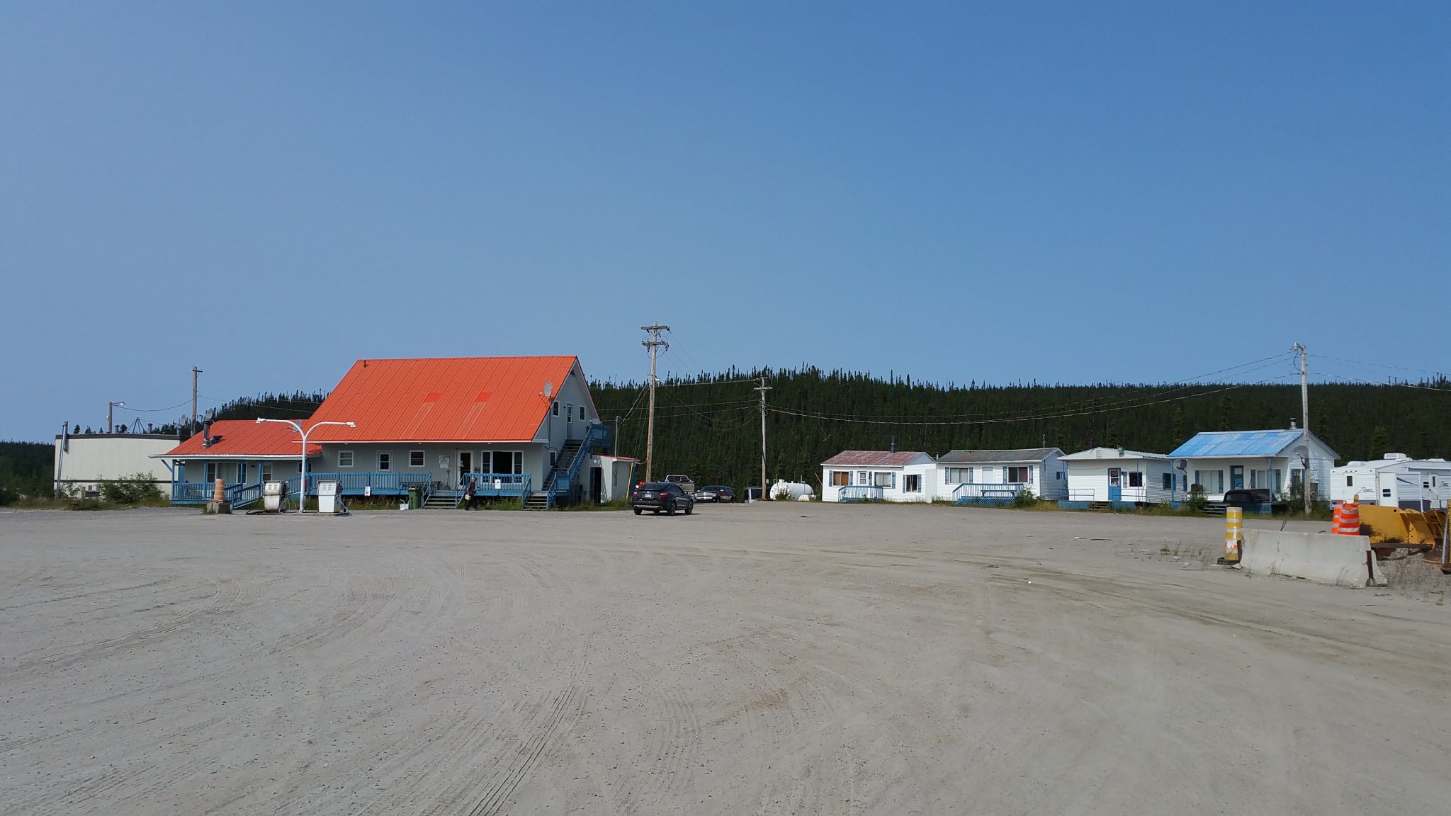
It is a true company town of about 600 people with nearly everything owned by the company. The building with the hotel held most of the other services that might be wanted like a post office and supermarket. Employees are assigned housing and pay a very modest rent which allows them to also maintain a property elsewhere if they choose. If someone leaves the company, they must return the housing to the company in a short amount of time, even if they have lived and worked there for many years. The nearest town is Labrador City, which is 150 miles away, so it has to be self-contained for day to day living. There were essentially no usable roads to town until the first dirt and gravel version of the TLH was built in 1992. Many parts of the road were in poor shape until some improvements were made after 1999. Paving was started in 2009 with completion of the Labrador City to Goose Bay section in 2014. Now people can travel places without fear of tearing apart their vehicle.
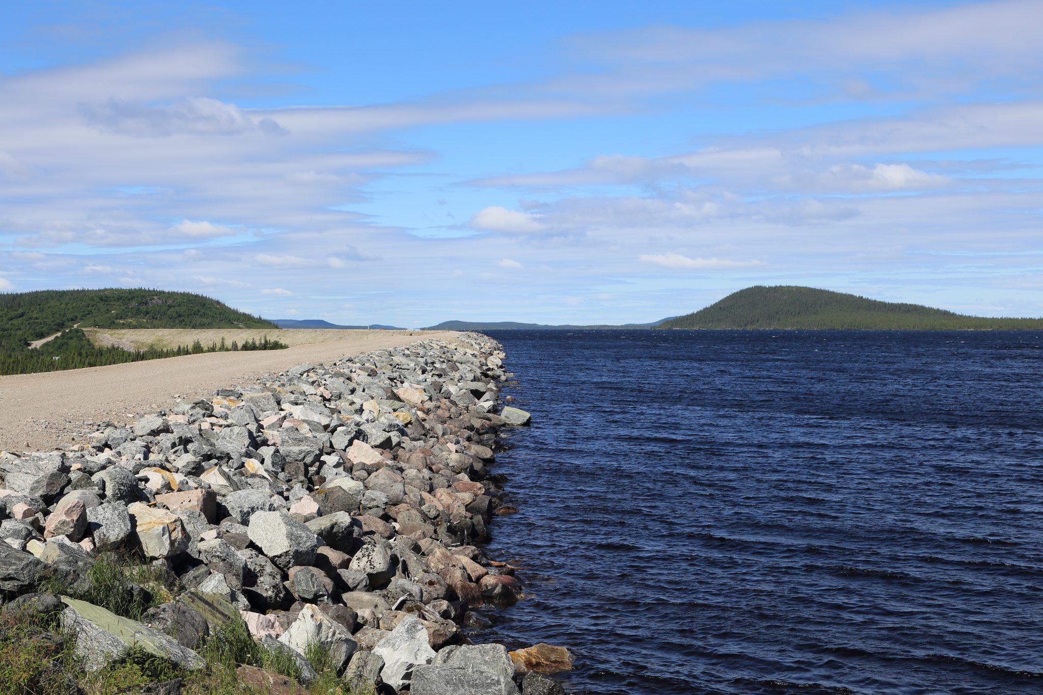
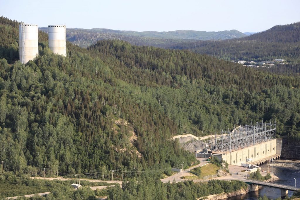
Having toured the town, we went to a visitor center where we received hard hats, reflective vests, and ear plugs. We learned some of basics of the operation of the facility and went to another location for the underground tour. Unfortunately, they did not allow cameras underground which was a disappointment to me. There is no giant dam here but about 40 miles of dikes that contain a vast 27,000 square mile drainage area. This is a bit larger than the state of West Virginia or the nation of Ireland! This water used to go through the actual waterfall named Churchill Falls but is now mostly diverted though intakes and plenums into a vast powerhouse carved out of solid granite 1000 feet underground. This powerhouse contains 11 turbines and is longer than 3 football fields and is 15 stories high. The running turbines and water create a loud humming sound so those earplugs were very useful.
After concluding the tour, we drove up a bumpy gravel road check out one of the dikes overlooking the town. Behind a dike we saw a vast expanse of water that feeds the turbines of the power station. We also got a good overview of what the town looked like. It certainly has an institutional and planned characteristic to it.
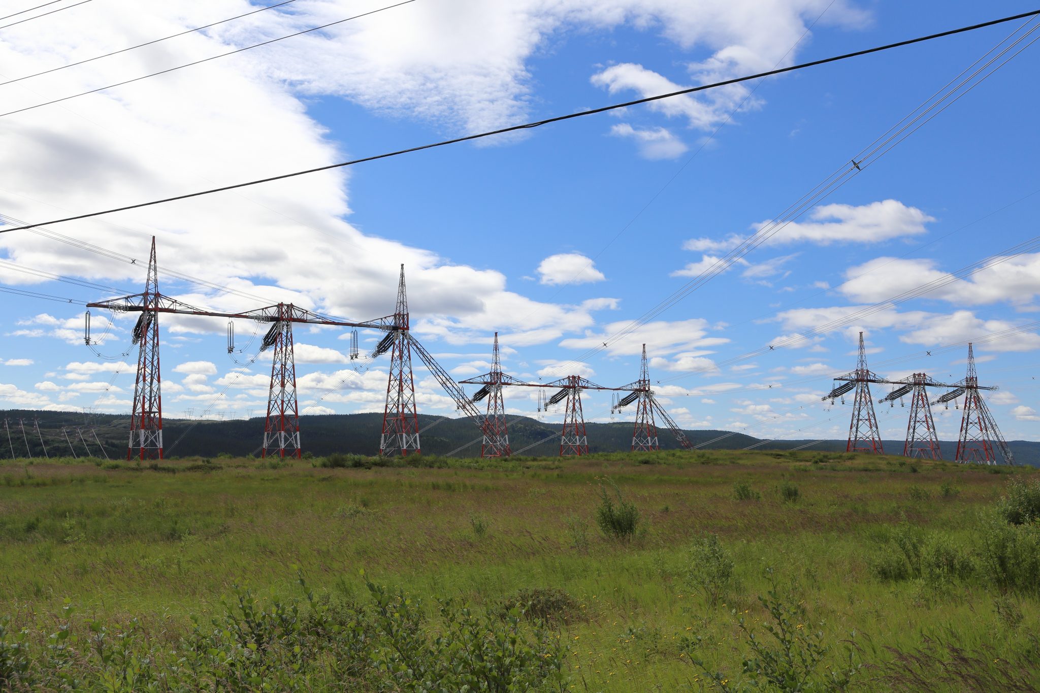
We then went to see the river where the water exits from the power station. We followed a steep, winding, and bumpy road down to it. We passed under the 36 transmission cables that pass south over the river. They operate at 765kV – the highest in North America. This allows minimal losses for getting the power hundreds of miles to civilization.
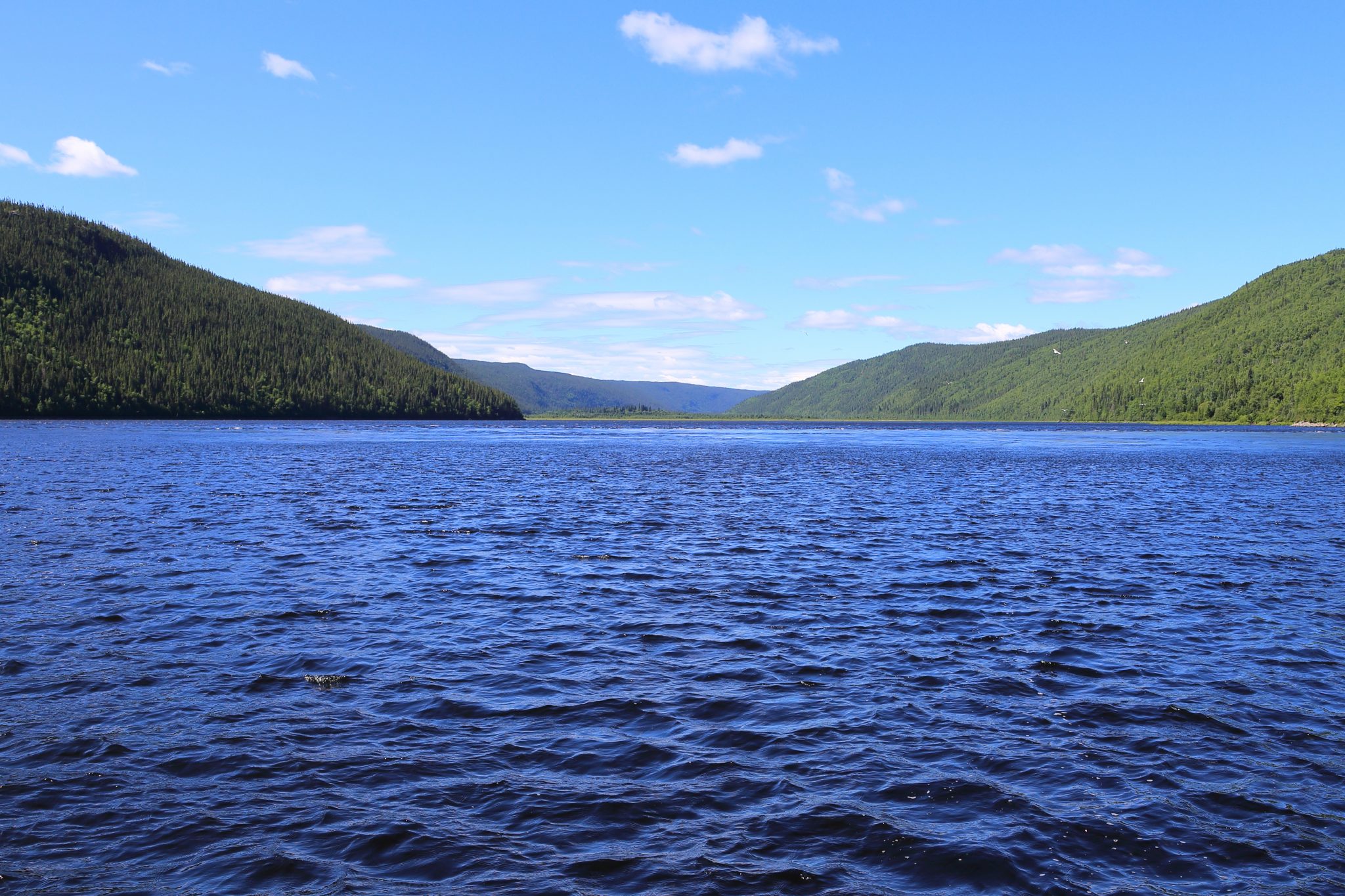
The road ended at a picturesque location on the river with a couple of picnic tables sitting next to it. It was lunch time to we rummaged around our bags to see what we might eat. Debbie and I had that nice piece of arctic char from Nain, some Wheat Thins, and fruit. Pier Luc had a block of cheese he had been lugging around Labrador for a couple of months. We combined it all for an impromptu lunch that felt very satisfying in its setting and company and even better that we suffered no ill effects from the well traveled cheese.
We eventually headed back to the road, grabbed some gas and coffee and headed toward Labrador City. We passed through a flatter part of Labrador and as we got closer to our destination saw occasional signs of civilization in the form of a lake that had a cabin or house next to it. Pier Luc needed to be dropped off where he would get a train. This place is called Emeril and about an hour from Labrador City. We had to keep watch for the railroad tracks crossing the road as this was going to the only sign of where he needed to be dropped off. There really is nothing there, just a small cabin near the railroad. It was Saturday and he was going to camp until Tuesday when the train passed by there. Debbie felt strange about just “dumping him” in this empty place but he assured her it was fine. We continued on to Labrador City where we stopped into the Canadian Tire store in the Labrador Mall. I wanted to find a couple of plastic push fasteners to replaces those holding on the little mud-flaps in front of the rear tires. They had gotten sheared off by gravel attacks south of Goose Bay.
Labrador City was founded by the Iron Ore Company of Canada in the 1960s and its economy is built around mining. It has been battered by the reduced iron prices and demand since the economic downturn of 2008. Its population is about 7000 people and nearby Wabush adds less than another 2000 people. You could see the impact of the recession as you drove around. Restaurant options there tend to be basic, it’s definitely not a haven for foodies. We were staying the Wabush hotel and decided to just grab the Chinese buffet there. Today we drove just 168 miles for the day now totaling 2750 miles for the trip.
Day 19 – Sunday August 19, 2018
Labrador City to Baie-Comeau
We left Labrador City westbound and it wasn’t long until we exited Labrador having traveled 775 miles on the arc of the Trans-Labrador Highway. We were now in Quebec and on route 389 heading southward traveling the 350 miles to the St. Lawrence River. You quickly pass by Fermont which is another company town. This one is built for the iron ore industry and currently the Mont-Wright mine. This is a massive mining operation and you can see evidence of it around you. We saw excavations and large mining equipment. You can get a tour, but had other plans later so continued onward.

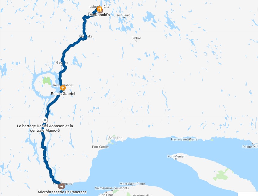
Before long we were back on the gravel road and occasionally having to contend with large trucks. We passed through an expanse of wilderness toward the “Eye of Quebec”. If you look at the map above you can see Lac Manicouagan which is a large circular lake that was formed by massive meteor a long time ago. The road skims the eastern edge of it with the Uiapishka Mountains rising up to the east, on your left, as you approach. There is nothing along the way until you hit Relais-Gabriel on the far eastern edge of it. This is not a town but best described as an outpost. There is gas, a small café, and a few motel rooms. I later learned they have some boat rentals and places to stay on the lake. Had I known we might have done that. We had planned to stay at the nearby enviromental output, Station Uapishka, but our timeline got tight and we dropped it. The extent of this visit was some lunch, gas, and a leg stretch. We could tell we were in Quebec as the one person we saw staffing the café was a French speaker and not especially fluent in English.
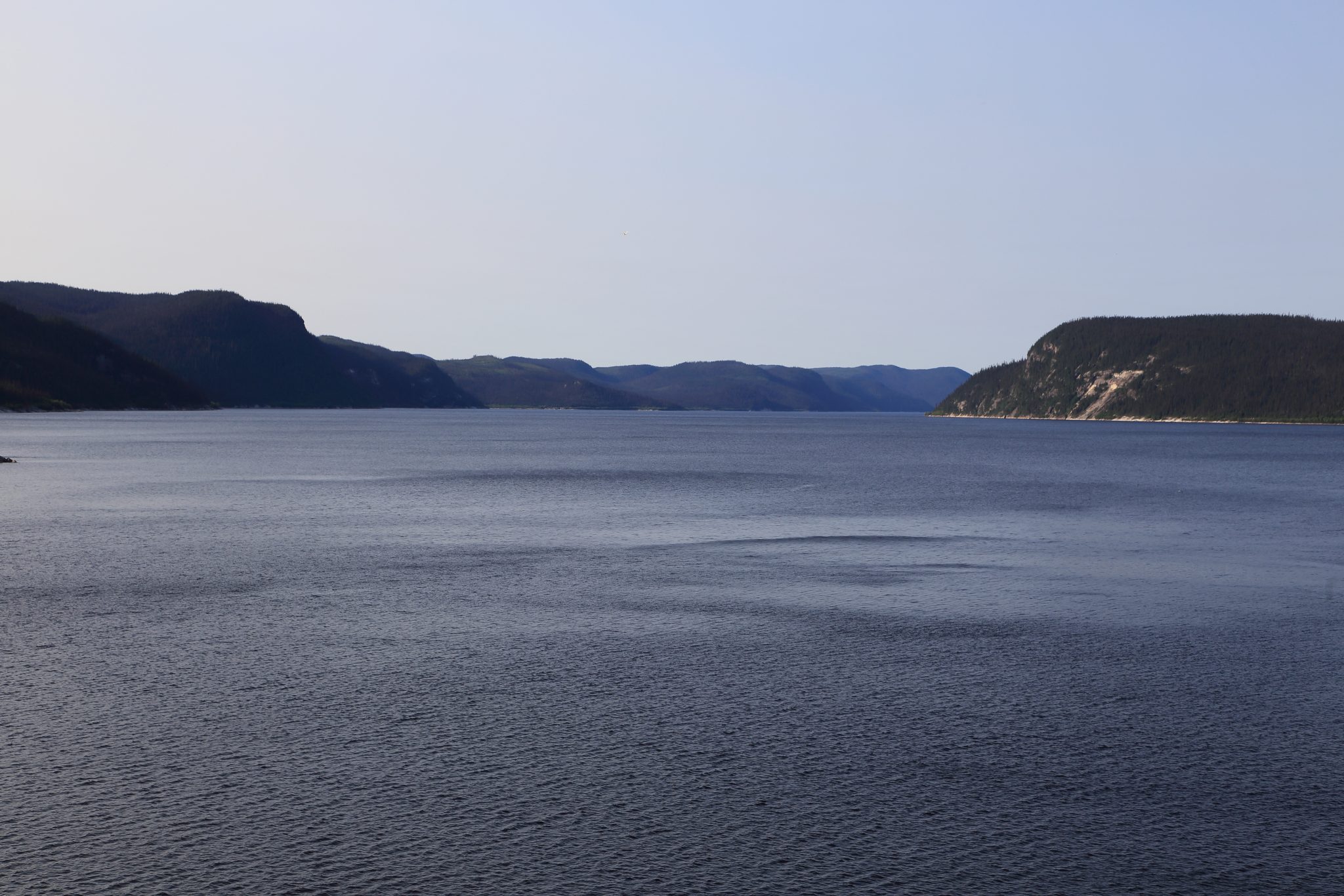
We continued onward on the gravel road south anxious to catch the last tour of the Daniel Johnson Dam at the Manic 5 power project. When the dam there was built, the circular lake it formed revealed the existence of the ancient meteor crater.
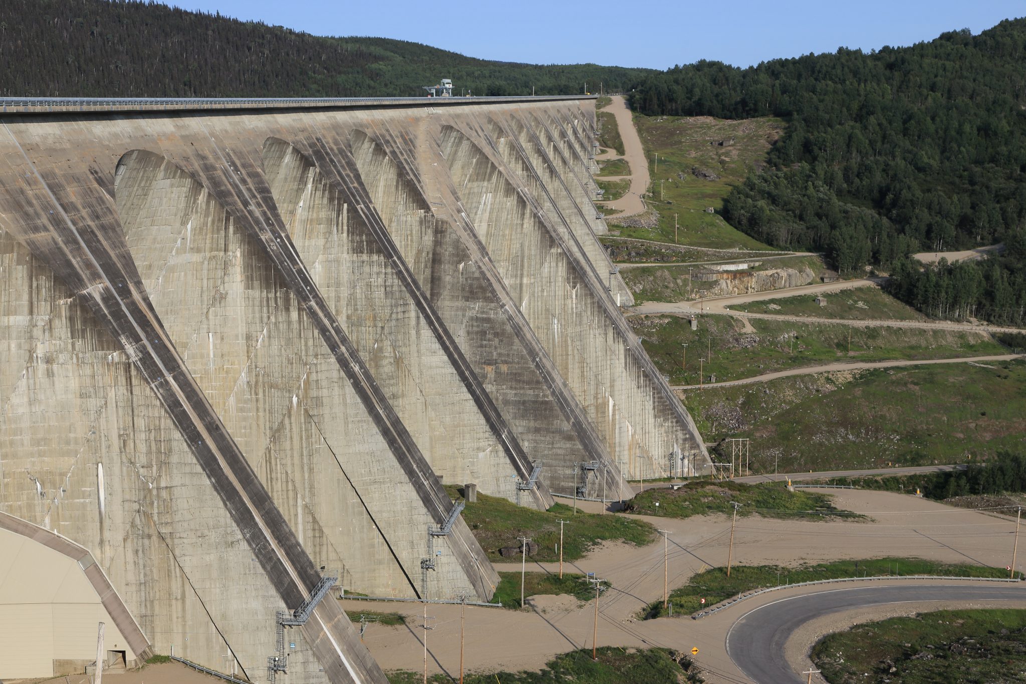
We made it in time and got an interesting tour of the facility. The tours are in French but they have an English audio translation available. We actually got a personal translation from one of the guides. The dam is a very impressive arch and buttress structure rising 700 feet above the Manicougan River and stretching 4000 feet across. You can easily see it the Google satellite views. The tour takes you inside part of the dam structure and also one of the two powerhouses. You are driven across the top of the dam on the buses, so you can get a good view of the picturesque lake behind it as well as quite a view of the river far below.
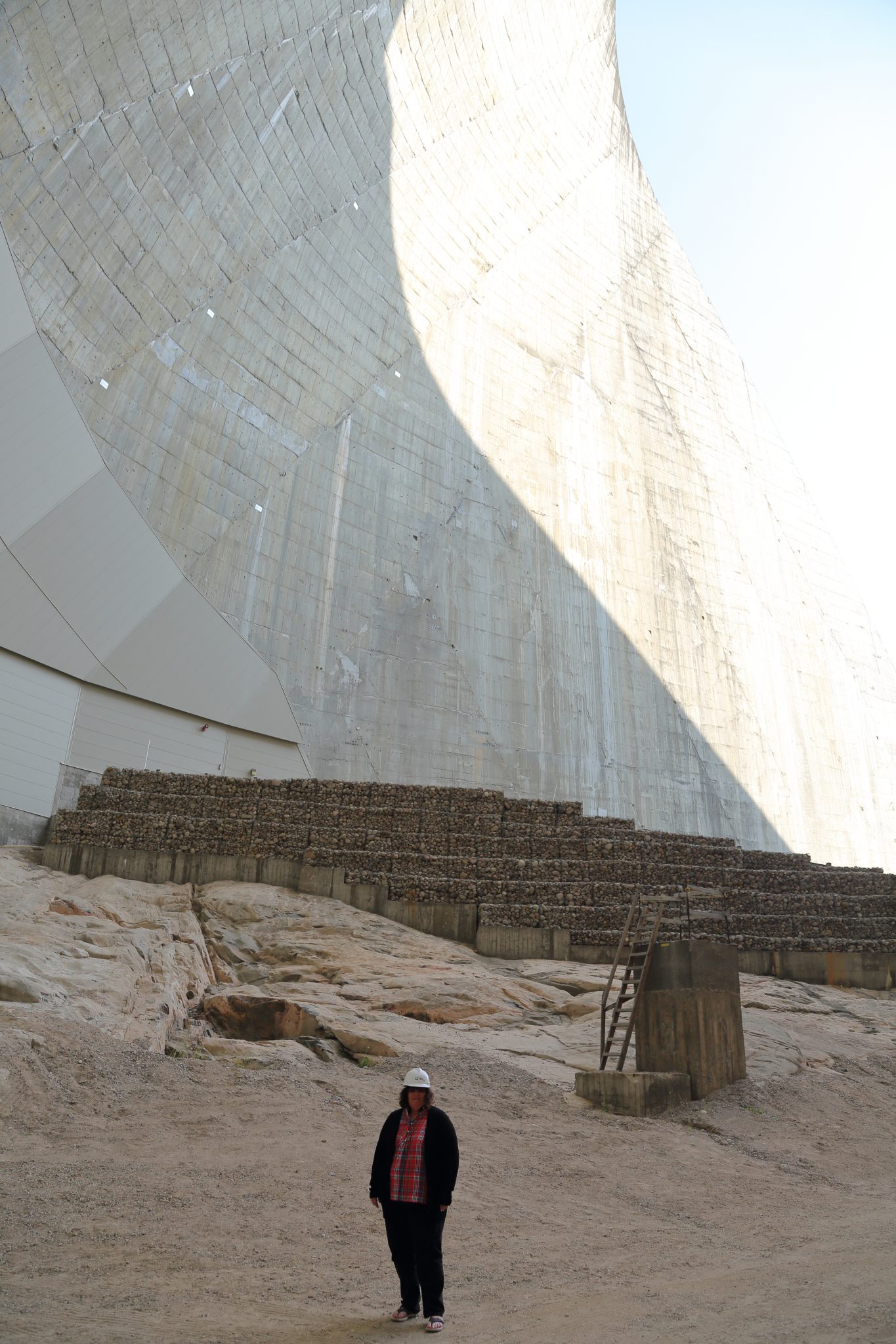
Huge air vents and powerhouse of Danial Johnson Dam 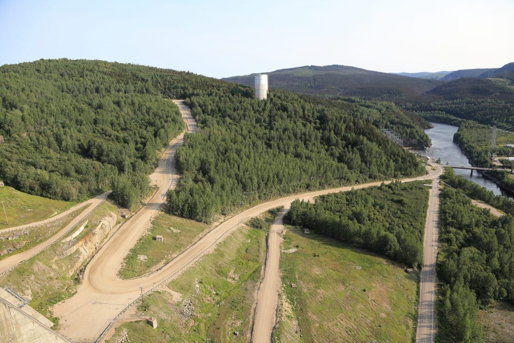
QC-389 winding past the Daniel Johnson Dam 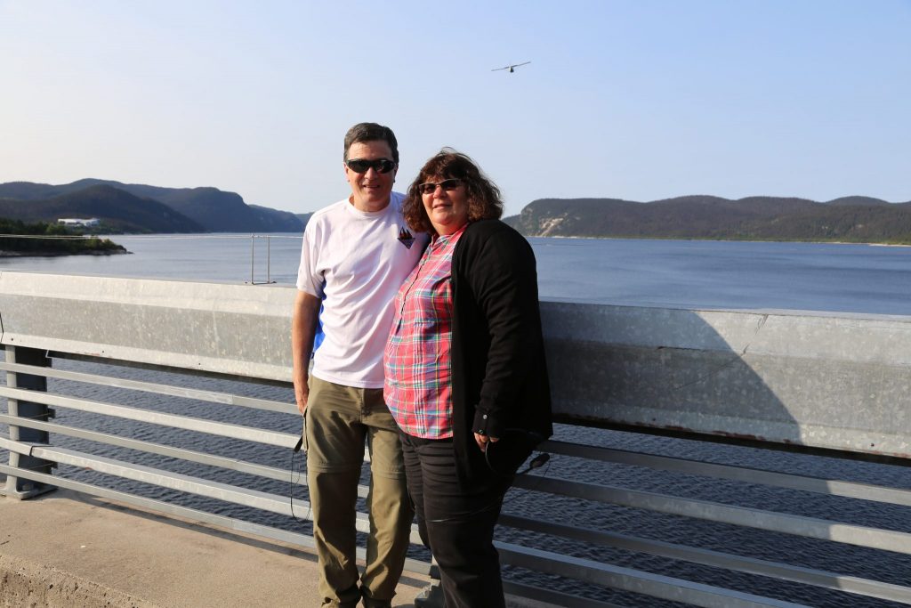
James & Debbie on the top of the Daniel Johnson Dam
After requisite visit to the gift shop and purchase of the official Manic 5 coffee mug and chocolate bar, we headed out on our last leg of the journey back toward civilization. The road was paved now but there was 137 miles to go through a more windy and rugged section than our morning trip. We passed the Manic 3 and Manic 2 dams but did not stop. As we traveled southward we saw a large truck in the distance behind us. It steadily caught up with us which was surprising as we were moving briskly through the winding curves in a car that handles very well. I was amazed how brazenly he drove in such a large vehicle without running off the road. I had heard about some of the fast moving large trucks on this road and this guy certainly was representative of that group.
We didn’t have much more left of the wilderness of Labrador and Quebec and it seemed we were not going to see a moose or caribou. In fact, the only land mammal seen was the arctic fox. We did stick to the roads and didn’t hike at all so the forest could have easily hidden them in most places. Still we were a little disappointed about missing them.
We finally reached Baie-Comeau and civilization. We found a bustling area with restaurants, cafes, and pubs. We settled on a busy brew pub called Microbrasserie St. Pancrace and had our best meal since Battle Harbour. It was quite a contrast to our various stops in Labrador and really since St. John’s nearly 2 weeks earlier. We had planned to continue onward but during dinner realized we were done for the day. We were fortunate to find a hotel room for the night as the Paralympic Cycling Road World Cup was taking place the next day in the area. Today we traveled 369 miles over 7 hours and 44 minutes for a total of 3119 miles.
Days 20 & 21 – Monday & Tuesday August 19 & 20, 2018
Baie-Comeau to Home
Monday
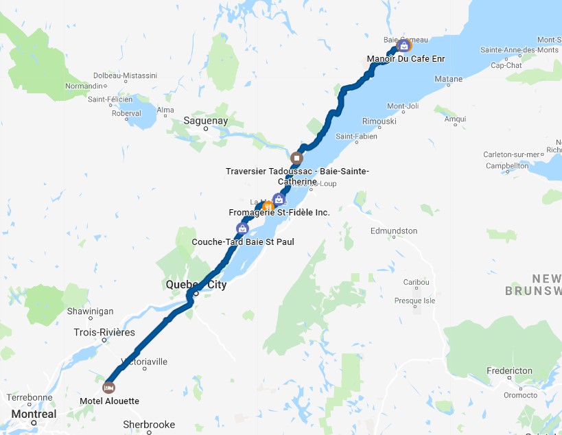
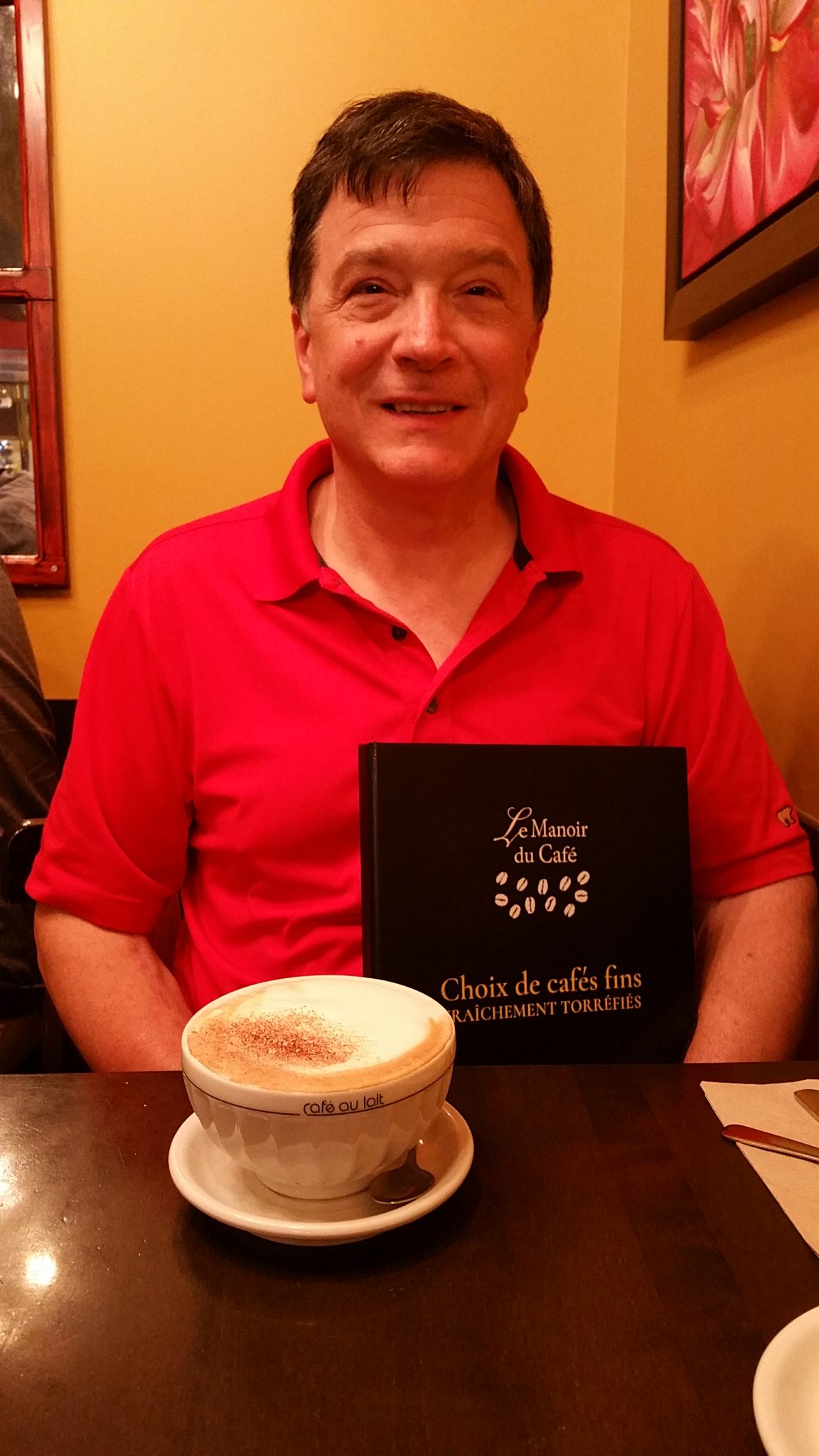
We got motivated a little late and decided after a good dinner the night before that a relaxed breakfast would be nice. We went back into the heart of town and ate at Le Manoir Du Café, a place we can easily recommend.
Heading out a little after noon, we spent the day driving on QC138 along the St. Lawrence River taking in the views along the way and only stopping for meals. We took a lot of boats on this trip but were not quite done. The Saguenay River exits to the St. Lawrence about 3 hours north of Quebec City but there is no bridge. They have several free ferries constantly running back and forth. You essentially just drive right onto this flatbed ferry and it quickly takes you across the ¾ mile wide mouth of the river. It’s a good place for a view up the fjord to the north and a bathroom break.
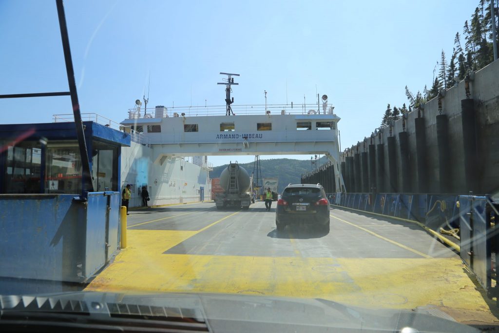
Boarding the ferry that crosses on the Saguenay River 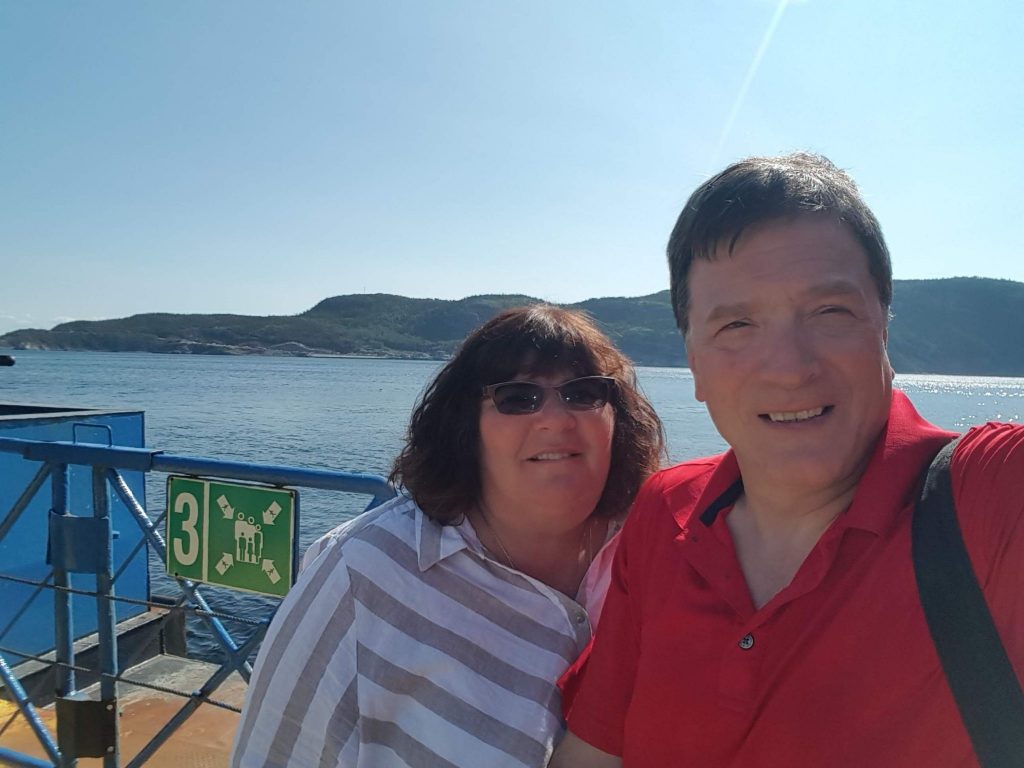
A selfie on the ferry crossing the Saguenay River
We continued onward and arrived in the evening in Drummondville outside of Montreal. Our lodging was called the Motel Alouette and was a kind of throwback “motor court” older property in a neighborhood vs. the usual highway exit. It was clean and updated even if a bit small. We traveled 360 miles today over 7:08 minutes for a trip total of 3479 miles.
Tuesday
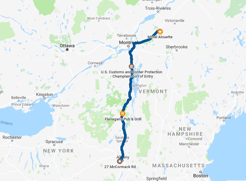
We headed right out and grabbed some breakfast at a Tim Horton’s before setting out on our final leg of the journey. We quickly found ourselves at the border and after a brief stop we were back in the USA after 20 days in Canada. The only stop was for gas and some lunch at Flanagan’s Pub in Schroon Lake. Sitting there I realized it had been too long since we had spent time in the Adirondacks, but with summer drawing to a close it would have to wait. We were glad to arrive home and the cats were really happy to see us. Bella especially misses us when we are gone. She likes her routine and that includes us sitting on the couch in the evening giving her lots of attention. Our travel for the last day covered 284 miles in a little more than 4 hours.